Visiting Gaza
16. May 2010 - 26. May 2010A report by Peter Voss, part 2
Mouse click to enlarge photos, Alt + 'left arrow' to return
|
Day by day account
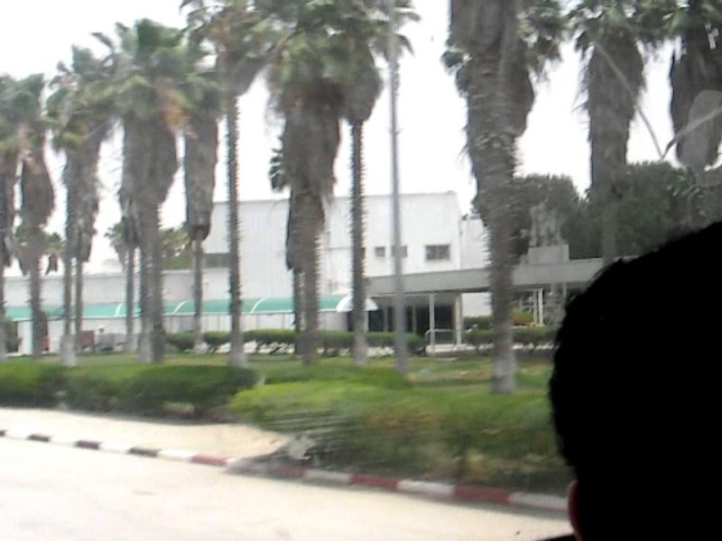
I flew to Cairo, stayed in the same cheap hotel at Tahrir Square that I had ended up in December 2009 on the occasion of the Gaza Freedom March and I was very happy when everybody still remembered me. I was travelling with about 40 kg of baggage, a travelling bag - somewhat heavy with emergency equipment like a sleeping bag and an airmattress -, a back pack containing my bicycle, and hand luggage, which contained a notebook and all the charging gear. If necessary I could handle all that by myself. Sunday, May 16, 2010 I stayed overnight in a beach hotel in El-Arish and on Sunday morning I took a taxi to the Rafah crossing, where I arrived shortly after 9 o'clock. As we approached the crossing, there was a sign above the street which read "Farewell, come back soon", which I found very encouraging, because it was known that coming back could be the more difficult part at this crossing.  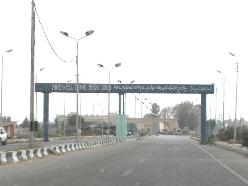 href="../pic/10pvpal/100516RafahArch2.jpg">
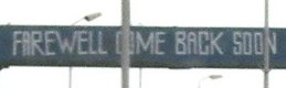 There was no activity at the border when I arrived. Shortly after 10 o'clock, a bus arrived and drove into the terminal complex - that incidentally has a very nice elaborate architecture - and soon after I was allowed in and went through baggage checks and the normal permit application procedure. Sometime later I was brought to an office in the back, and not too long after that a very grumpy officer in civilian clothes told that there was no permission for me and that I had to leave the complex. I tried to call my contact person in Cairo, but found out that my telephone was dead. Vodafone had no service in the area. So I went into the little cafe outside the terminal and pondered what to do next. I asked the cafe owner whether I could use his phone and he gave it to me and I could make contact to Cairo. Quite a few more calls followed on a phone that a student offered me, because I did not generate any extra cost for him, but I emptied his battery to almost zero. After hours I got the idea that I could get a different SIM card and as it turned out the cafe owner actually could sell me one. So I felt a little safer, but other than that nothing happened. Many people were waiting, most of them for relatives to come out. Most of these were stuck for many hours on the other side. Some of the waiting people were Palestinians living in foreign contries and spoke fluent English. This was a great help for me, because most border guards did not speak any English.   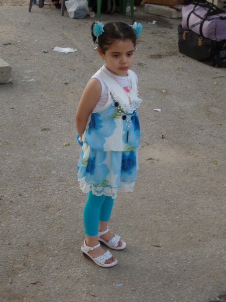 bike carrier,
telephone helper, waiting girl
The hours passed, nothing happened. It was not all that hot and it was
rather interesting to watch what was going on, e.g. to watch a very
serious little girl, all dressed up, waiting – as it turned
out for a female relative that may have been her mother –
very quietly from about 3 p.m. until 10 p.m. when that young woman
finally turned up. The little girl went over to her, took her hand and
guided her to the waiting car. Not a word was spoken.Soon after I was thrown out of the terminal my helpful old lady send me one of her little elves to give me some encouragement. It sat down on my thumb, trying to wave me a message and was patiently waiting for me to get my camera ready. I am not very superstitious, but this was definitely a good sign for me, because it was so unusual. 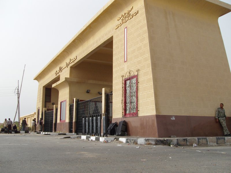 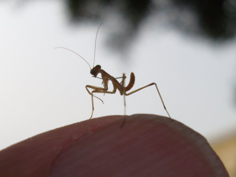 my
luggage sitting under the window visitor on my thumb
The hours passed. At
5 p.m. my contact informed me that she was going home, but that her
boss was taking over. He worked on the project until after 8 p.m., not
all that happy about it. He apparently contacted increasing levels of
the security service echalon. Once in a while he also had me give my
phone to one of the guards at the gate. But this did not impress these
fellows the least, quite on the contrary, it seemed. The last
information was that they would still let me get through during this
evening. As it was getting dark very few people were still waiting.
Once in a while somebody came out from the other side, immediately
surrounded by a mob of porters.
I waited until 11 p.m. and then went back to my comfortable hotel. Monday, May 17, 2010 I was back again at 9 o'clock, but again the gates were not opened before 10 a.m.. In the meantime my helper (the boss) in Cairo was informing me on his progress. By 11 o'clock he had worked his way up pretty much to the top. Since my permit had been there all the time, things suddenly went very fast and everybody was extremely friendly. |
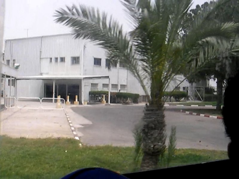
| Shortly
after 11 o'clock I sat in the bus which took me over to the other side.
The terminal on the Palestinian side is a lot simpler, a metal
structure erected by the Israelis and for a while operated by a
European police force until they left when Hamas took over in Gaza. The
arrival procedures are pretty much like those in an airport where the
baggage comes in at a baggage claim section. I was the only foreigner
and after a while taken aside in order to explain what the purpose of
my trip was. I decided to mention that I had had some contact with the
health authorities, and since it turned out that my contact, Dr. Yussef
(that was actually his first name), was known at the border, that may
have made things a bit easier. There was a small drawback to this,
because Dr. Yussef sent a car from Gaza City to pick me up, which took
almost one and a half hours to arrive. As we were driving towards Gaza City I had my first impression of the landscape. Driving along the edge of the town of Khan Yunis I was surprised to see the many old trees lining the road. The driver was driving pretty fast and it was difficult to hold the camera halfway steady. 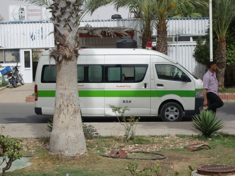 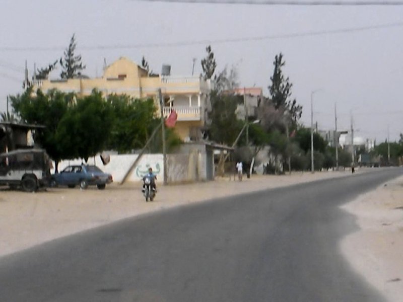 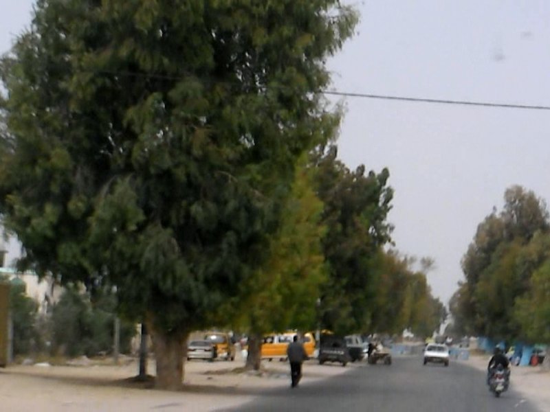 We were heading for a small hotel in center city of Gaza City that was recommended, but they had no room available. Therefore we went down to the hotels at the beach front. The Palestine Hotel was listed in a older tour guide as pretty decent. It is a larger hotel and on first sight it did not look as inviting as the other one, but I had a suite and a nice view on the sea from the fifth floor. It seemed, though, that at least on that day I was the only guest and the rooms and the bathroom were actually in pretty bad shape. After I got sick on the second day immediately after I had had a very simple breakfast (simple because I ate only a few things) I decided to move to the Beach Hotel next door that had smaller rooms, but was in much much better condition and had very good service. The driver took me back towards town to a telephone store were I could buy a local Jawwal SIM card plus credit. I went back to the hotel, informed everybody that I had arrived safely, tried to catch up with some sleep that I had missed the night before and met Dr. Yussef who treated me to a fish dinner in a specialized restaurant, where we were the only guests, because fish has become a very expensive delicacy. 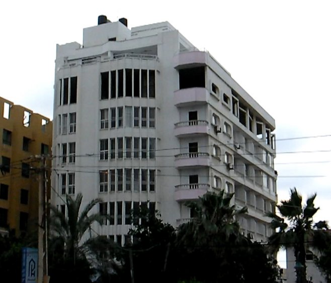 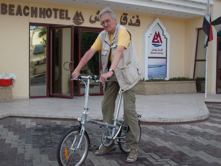 Palestine
Hotelin front of Beach
Hotel
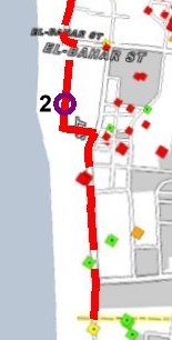
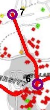
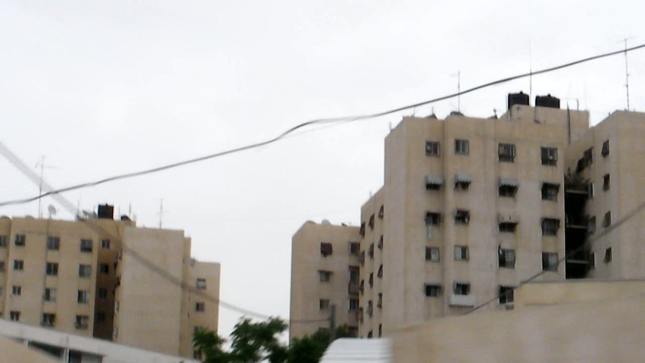
Tuesday, May 18, 2010 For 1.p.m. this day Dr. Yussef had arranged a meeting in the Ministry of Health in order to discuss problems that arose with the invitation of the Minister of Health to a conference in Bad Boll that was to take place in June. Thus I had the morning to start my first discovery tour of Gaza. Since I had only a few hours I decided to take off towards the 'north' on the map that is turned by 42 degrees. It is now time to have a closer look at the maps. 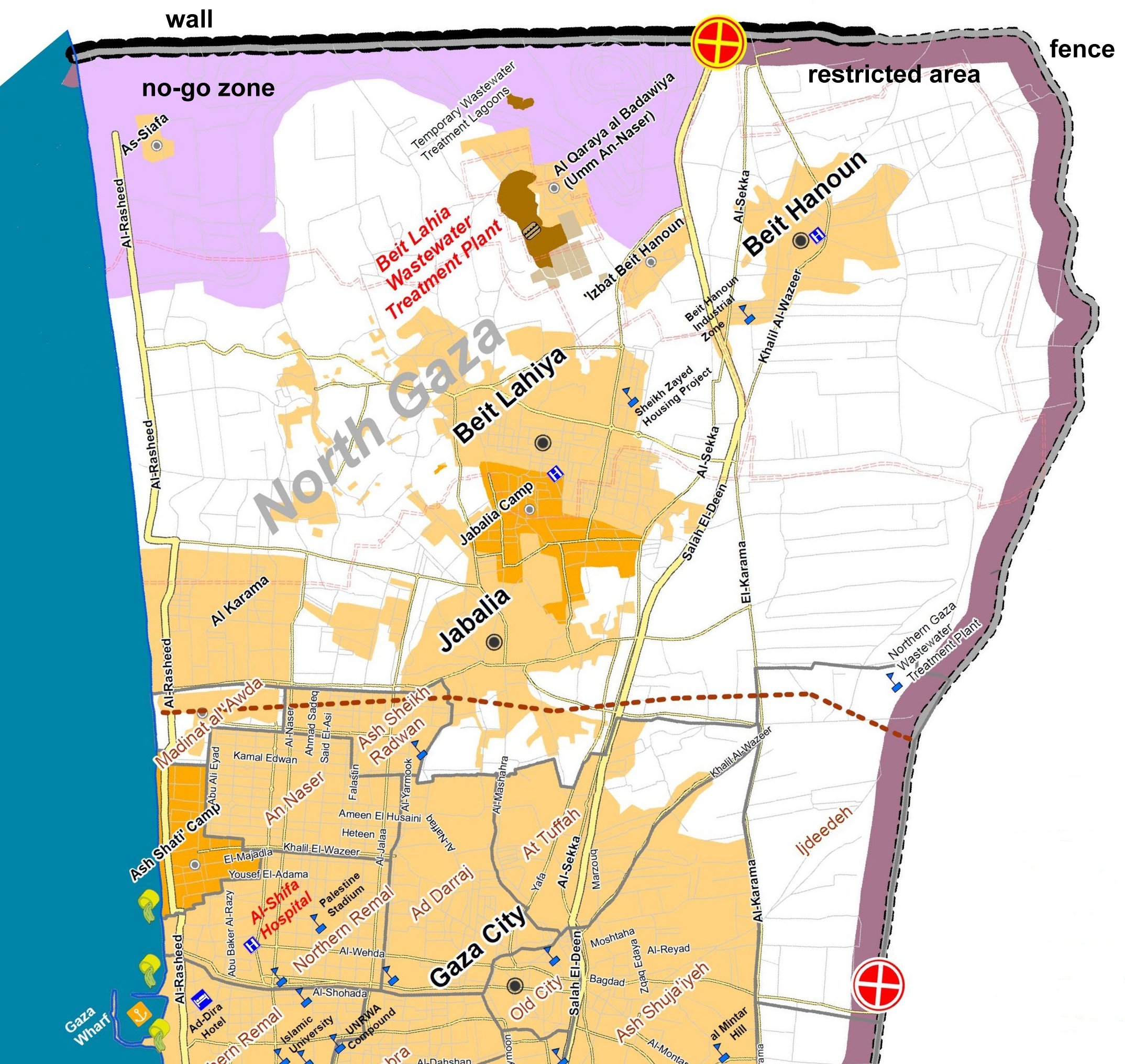 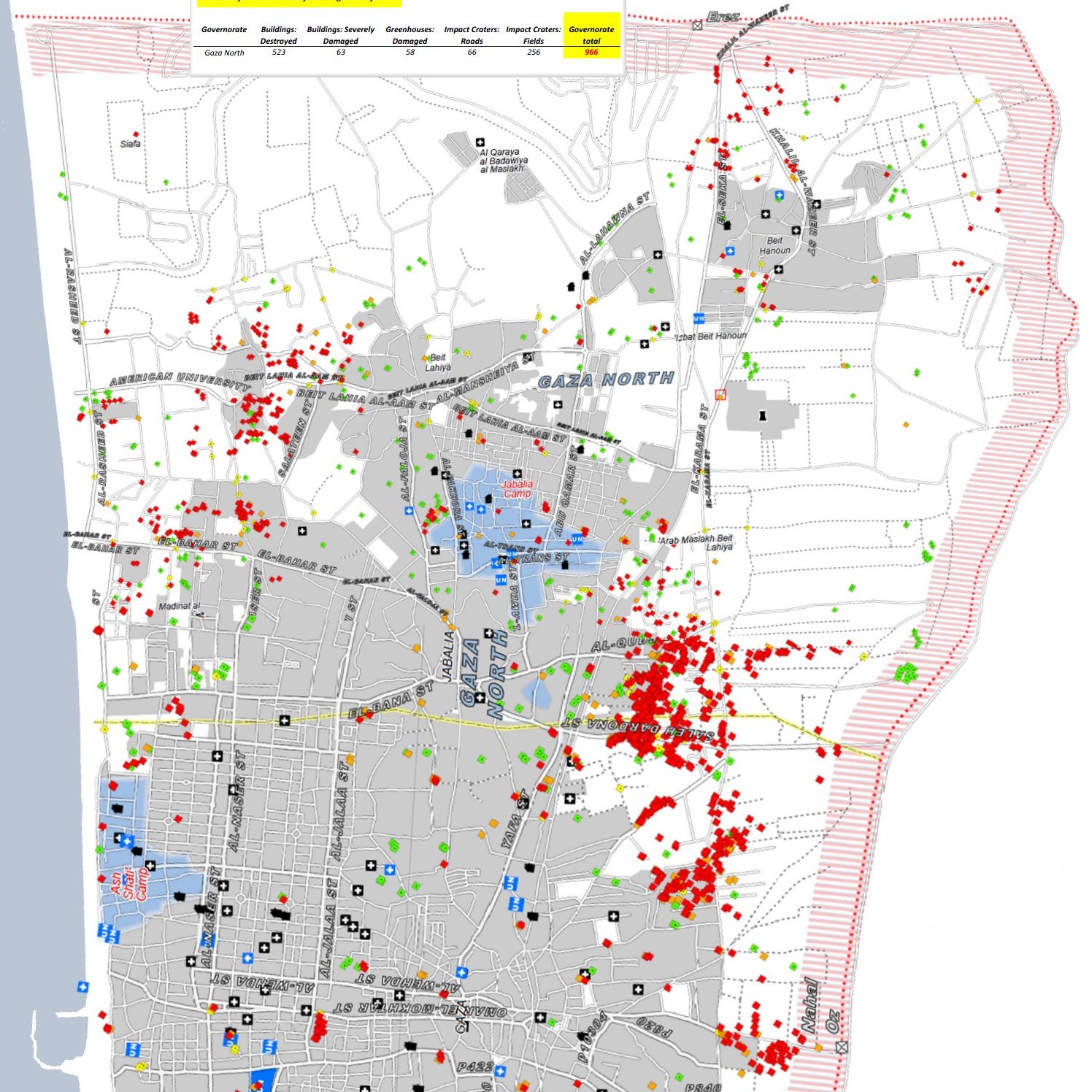 The left map shows the urban areas and the refugee camps (darker), and in light and dark violet the no-go zone in the 'north' (light violett is a former settlements area) and the 300 m restricted zone along the rest of the border. In the right map the urban areas are indicated in gray. It also shows the restricted area. In addition all the sites of the destroyed or severely damaged buildings by the Israeli operation 'Cast Lead' are indicated in red and orange. As can already be seen from the small scale map, most of the damage occured at the edges of the urban centers, in particular 'east' of Gaza City. 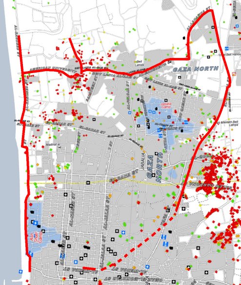 I marked most of my trips on sections of the map showing the destruction. As I have mentioned before, the printed version of this 'destruction' map was the only map I had along. On most occasions it turned out to be accurate enough for me to find my way. I wanted to get an impression of what the landscape, the towns and the refugee camps looked like. I also wanted to have a glance at the border fortifications without putting myself in danger, i.e. I picked places where there were edges of towns or villages close to the border. 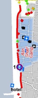 Taking off from the hotel one does not have to
drive very far to reach the first refugee camp in Gaza City, the Beach
Camp. We drove through it, but as I was filming this was a time I had
some footage of the stores at the edge of the camp that sell the
rations that are often marked 'not for sale'. Taking off from the hotel one does not have to
drive very far to reach the first refugee camp in Gaza City, the Beach
Camp. We drove through it, but as I was filming this was a time I had
some footage of the stores at the edge of the camp that sell the
rations that are often marked 'not for sale'.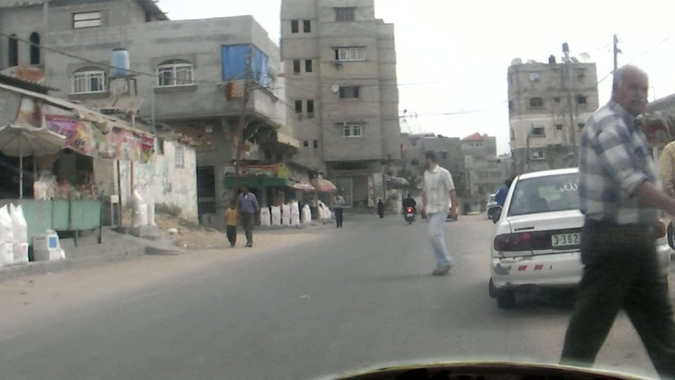 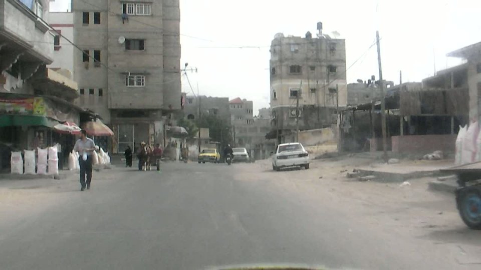 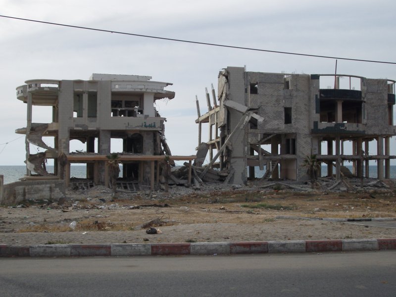 Beach
camp ruin at beach
  Behind the camp the landscape was hilly, with a
few luxurious buildings, quite a few high-rise buildings, many of them
apparently never finished. For a stretch there was no beach.
This incidentally is the area where some of the untreated sewage runs
into the sea at the places indicated on the 'no-go map'. As we drove
on, the territory lowered again and the beach continued. We turned off
from the main road in order to get closer to the beach. Close to point
2 on the map there was an idyllic set of vacation row houses with green
lawns in front and a sprinkler running. Otherwise the area looked
rather run down with simple beach cafes and with the remnant
of a children's slide that managed somehow to still stand. Behind the camp the landscape was hilly, with a
few luxurious buildings, quite a few high-rise buildings, many of them
apparently never finished. For a stretch there was no beach.
This incidentally is the area where some of the untreated sewage runs
into the sea at the places indicated on the 'no-go map'. As we drove
on, the territory lowered again and the beach continued. We turned off
from the main road in order to get closer to the beach. Close to point
2 on the map there was an idyllic set of vacation row houses with green
lawns in front and a sprinkler running. Otherwise the area looked
rather run down with simple beach cafes and with the remnant
of a children's slide that managed somehow to still stand.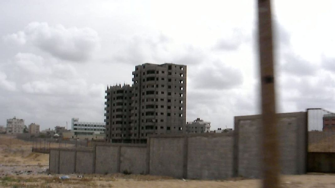 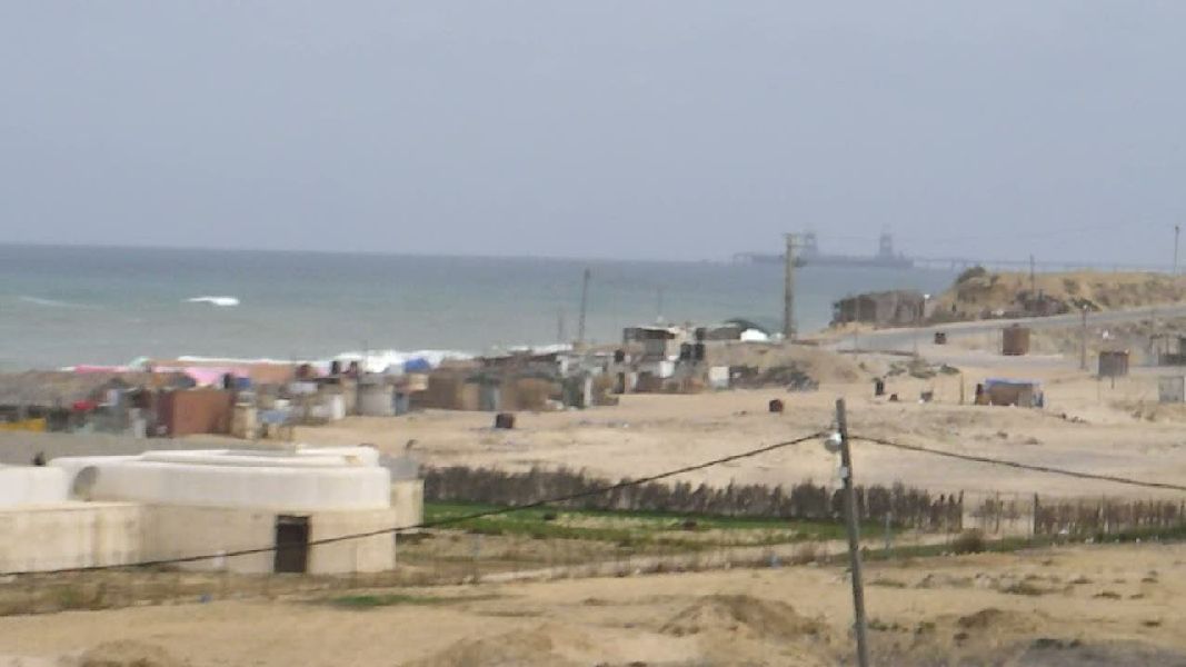  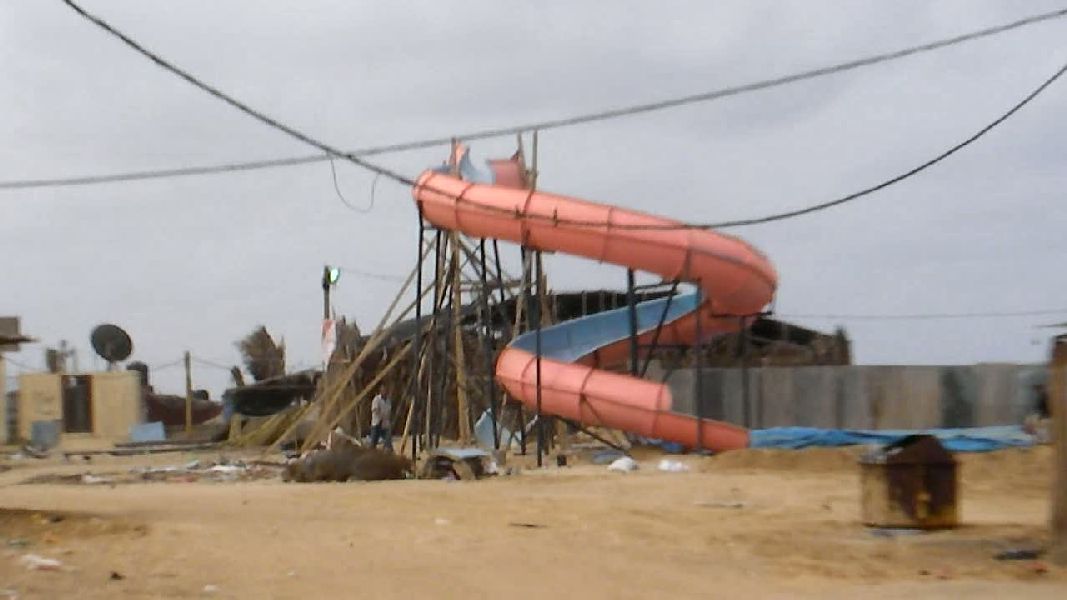 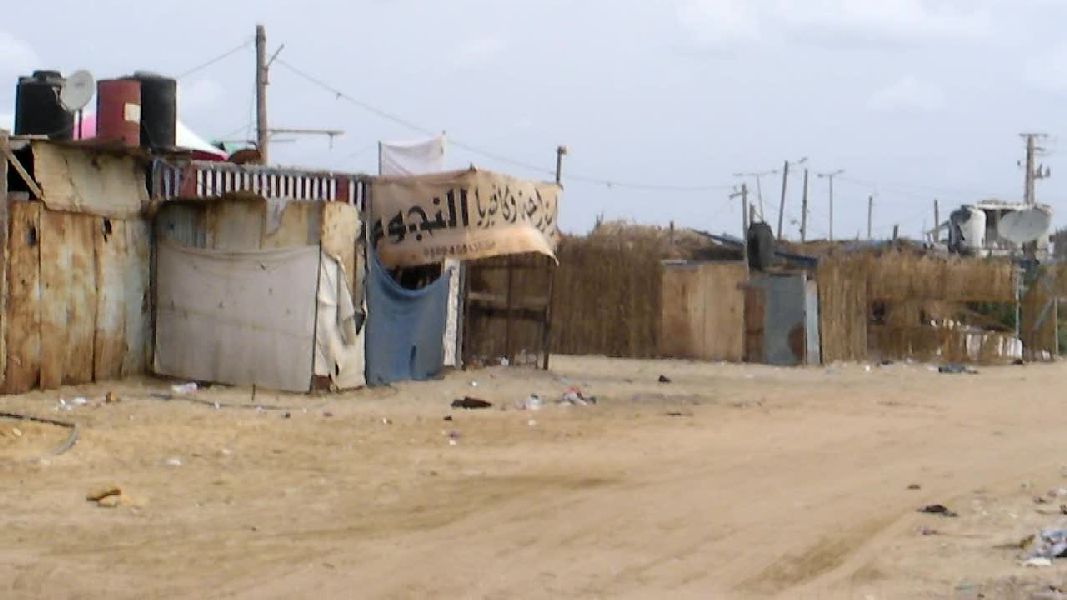 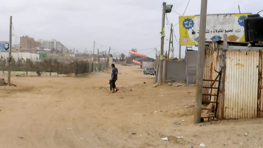  |
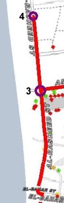 We
continued towards the next intersection (3). This is an area where a
lot of destruction had taken place. Some of that is still visible. We
continued towards the next intersection (3). This is an area where a
lot of destruction had taken place. Some of that is still visible.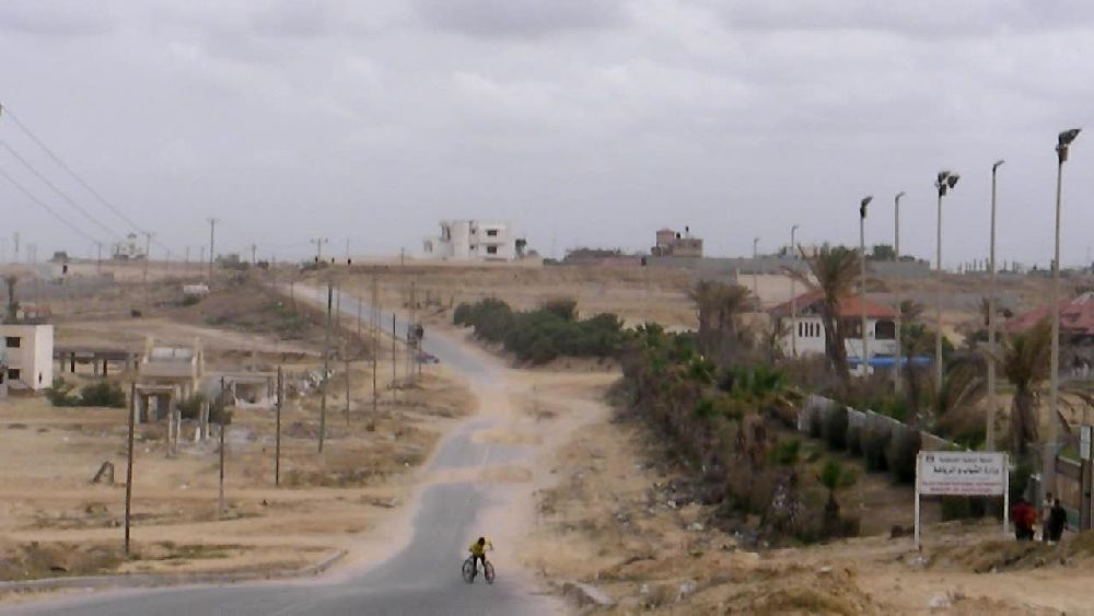  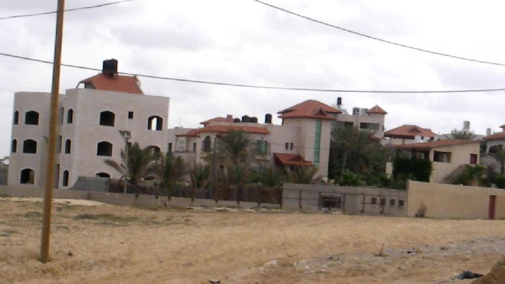 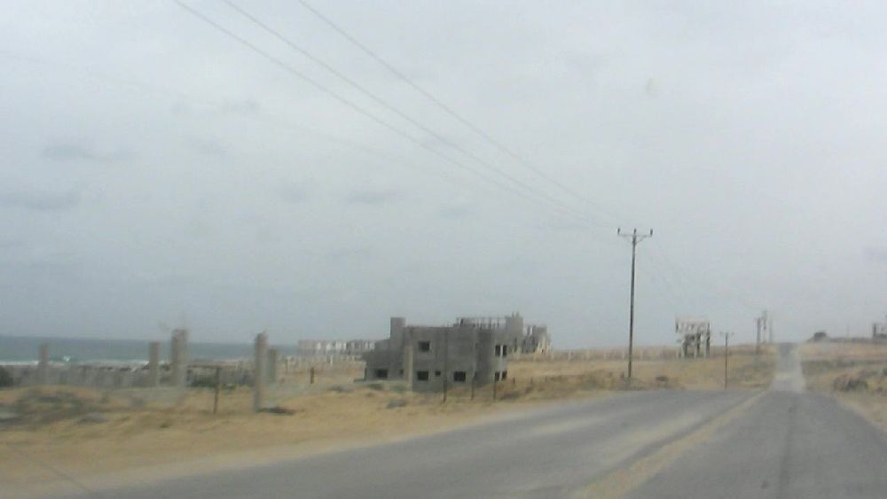 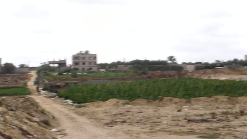  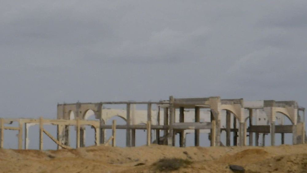 I wanted to go as far 'north' as possible, but after a short stretch the taxi driver stopped (4) and by telling me "boom boom" indicated that he definitely had no intentions of driving any further. As one can see on the 'no-go map' we were pretty close to the former settlement no-go zone. 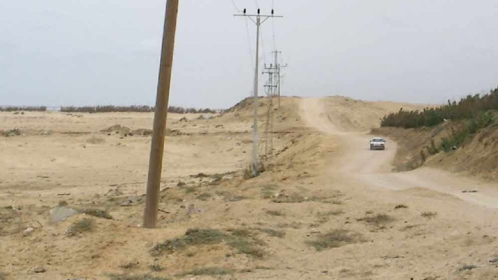 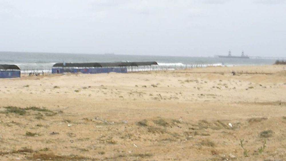 The right photo shows vaguely the tankship mole of the power station in Ashkelon. We turned around and went back to the intersection and drove up the hill towards Beit Lahiya. 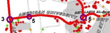
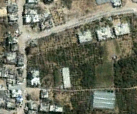
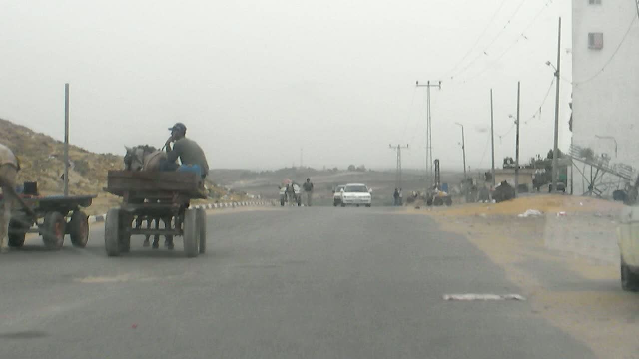
We came to what used to be a gas filling station. The sign apparently pointed that out even in Hebrew. But the main section of it was a only mountain of rubble. Otherwise along the road there were fenced-in gardens and fields with rows of vegetation that I could not identify. There were many greenhouses in the background. The soil was sandy and it was obvious that the fields were irrigated. 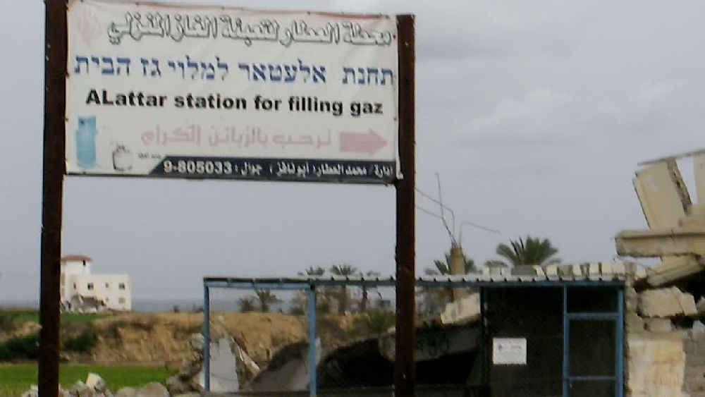  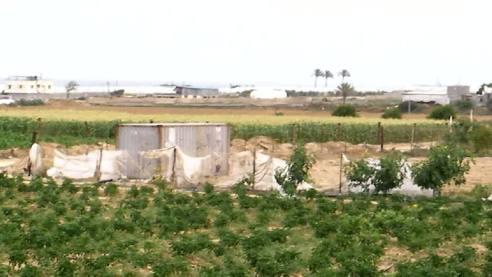  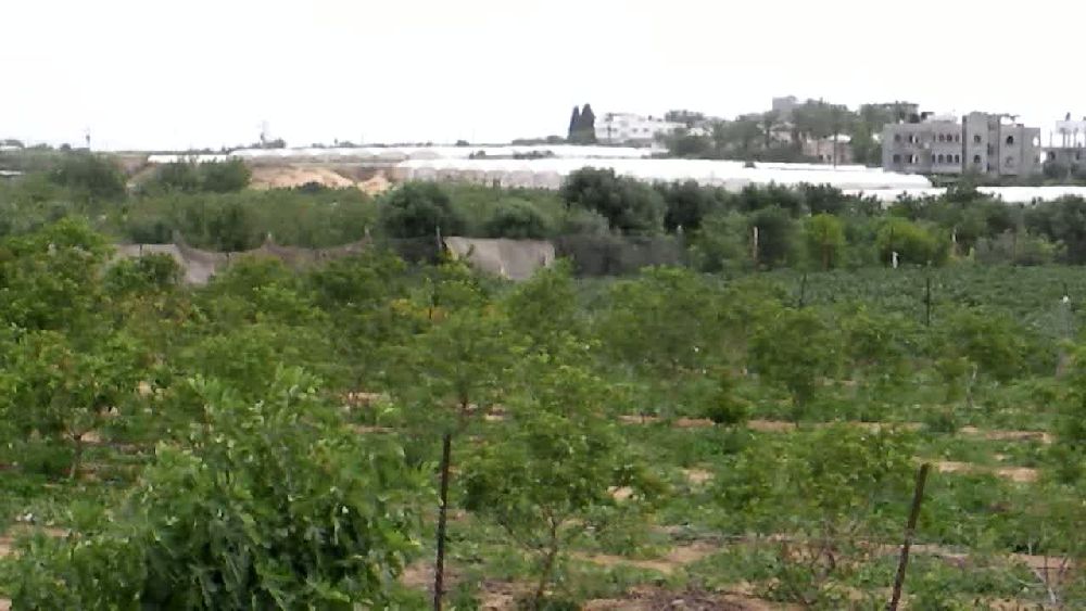 We reached the western outskirts of Beit Lahiya (6), an area that had suffered a lot of damage. At the intersection I got out of the car and filmed the area moving from 'east' to 'south'. The second photo shows a water tank right at the road. There must have been quite some action going on in the seemingly empty space in front. If one looks at the satellite image taken in 2007, one can see that this area was planted with trees. 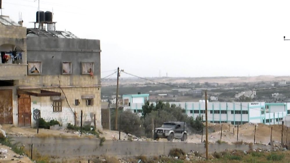  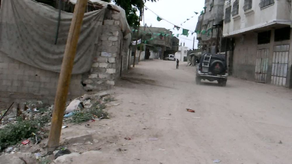
  I
still had the urge to drive further 'north'. We drove through the town
out into the open fields (7). Here I had a (very hazy) view of the sea
and again of the mole of the power station and of the power station
south of Ashkelon itself. I
still had the urge to drive further 'north'. We drove through the town
out into the open fields (7). Here I had a (very hazy) view of the sea
and again of the mole of the power station and of the power station
south of Ashkelon itself. 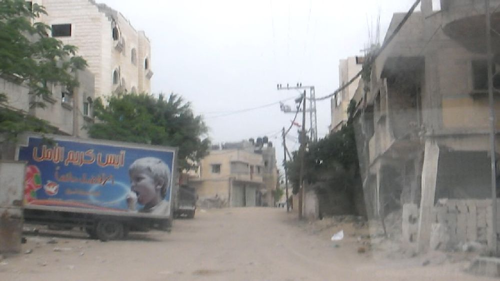 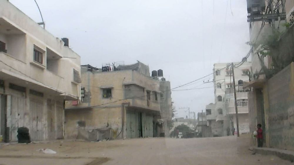  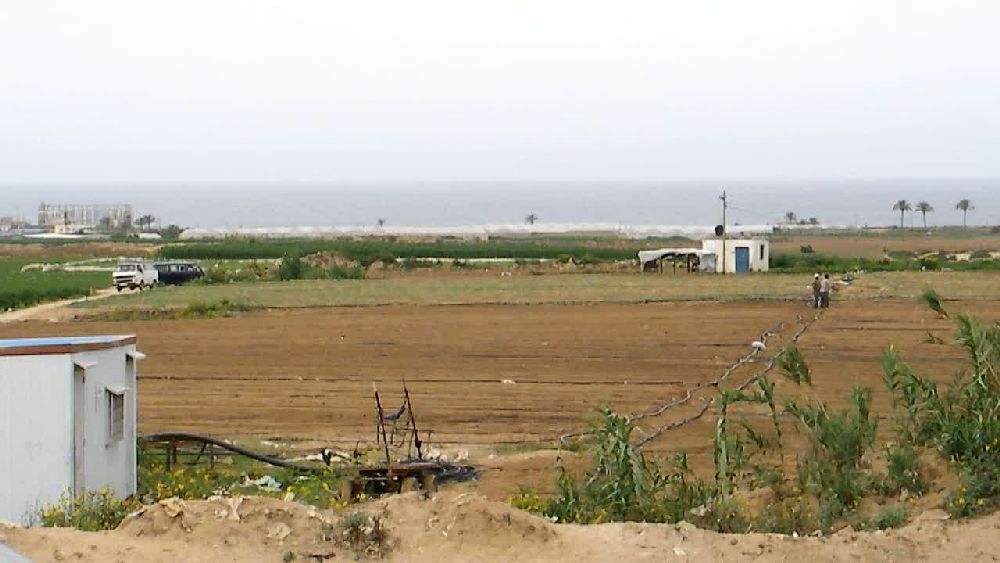 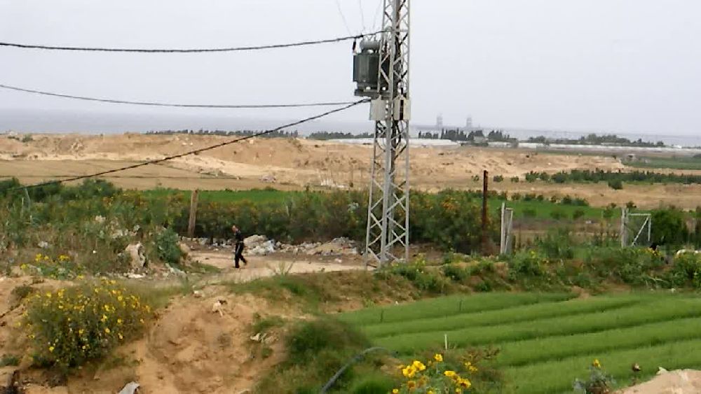 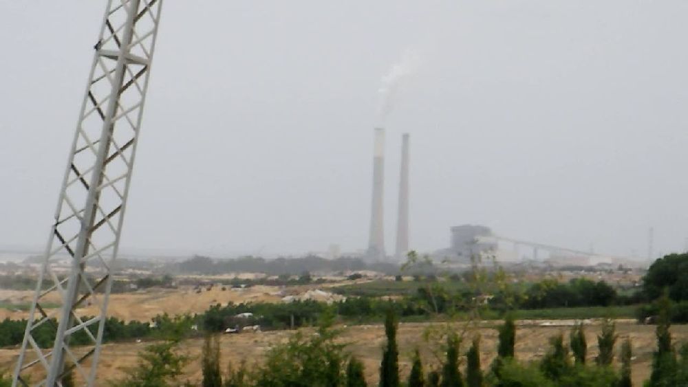 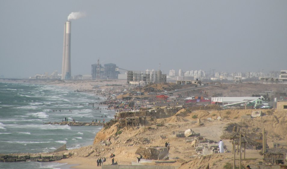 The
photo to the left was taken three days later directly at the coast The
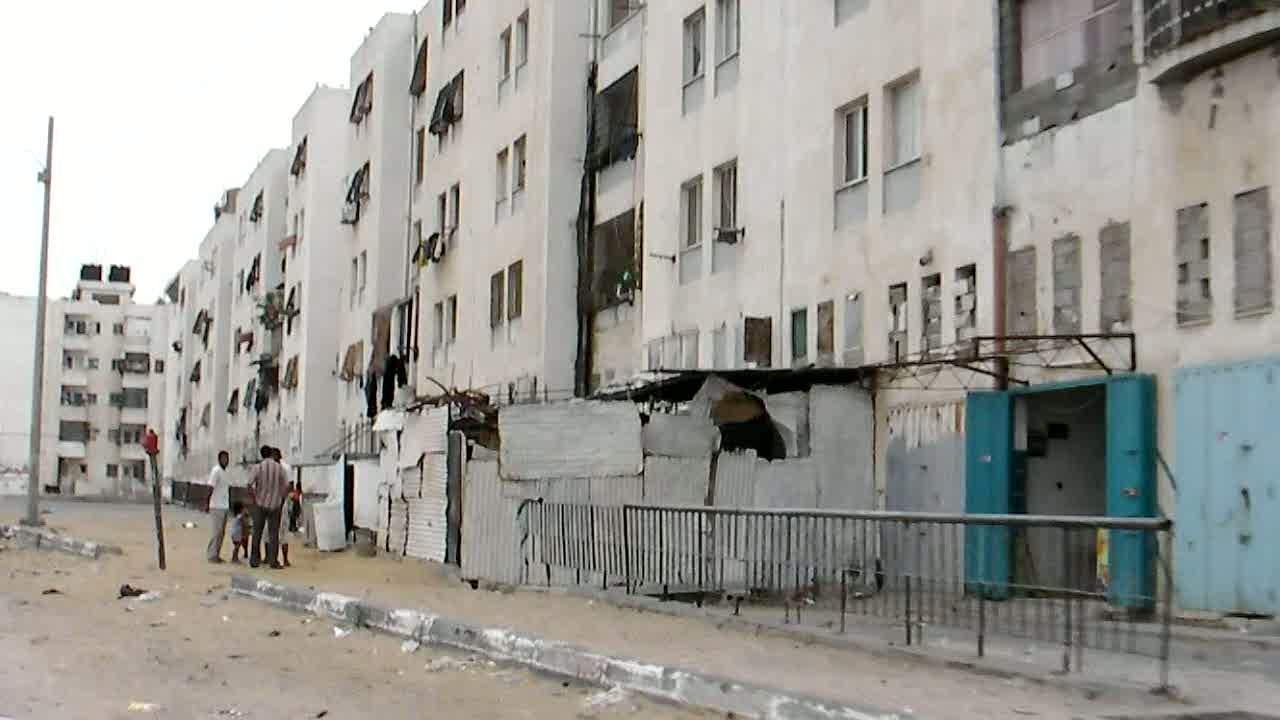
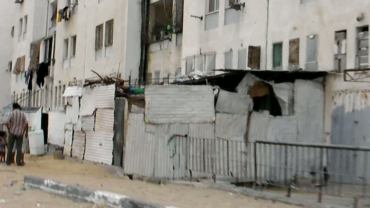
photo to the left was taken three days later directly at the coastWe returned to the intersection and continued downhill towards the main section of Beit Lahiya. 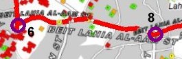 The area looked rather poor. As we were approaching a major intersection, there was a traffic jam caused by a tractor. I got out of the taxi and went up to the intersection, where I noticed a small supermarket. I decided to go inside and look around. I had expected a rather empty store, as I have seen many of them in the Westbank and in the villages in Lebanon. But this store was full. 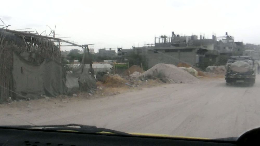 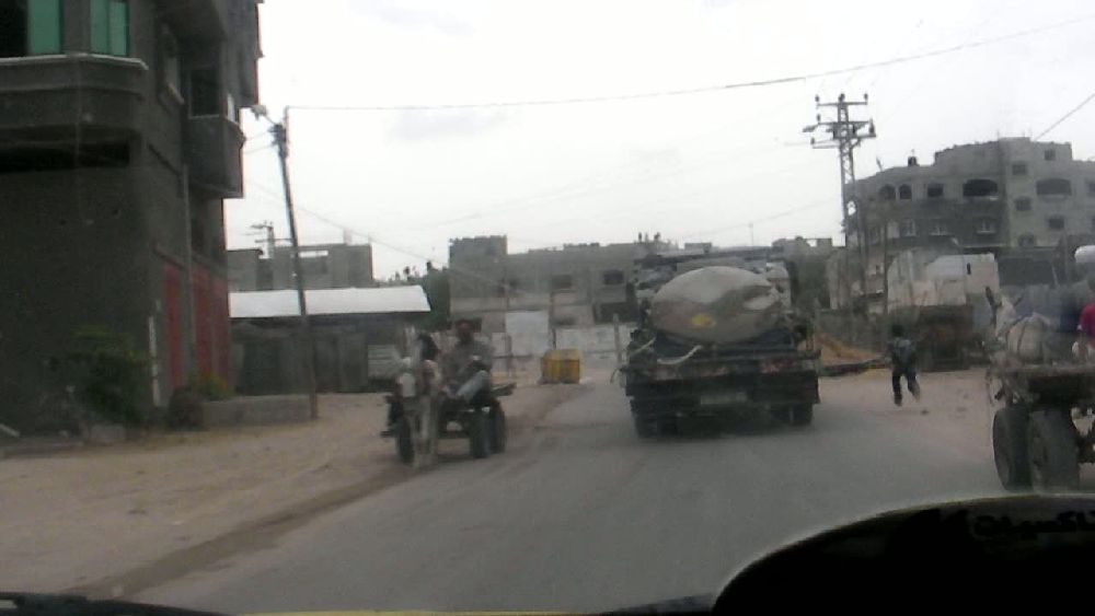 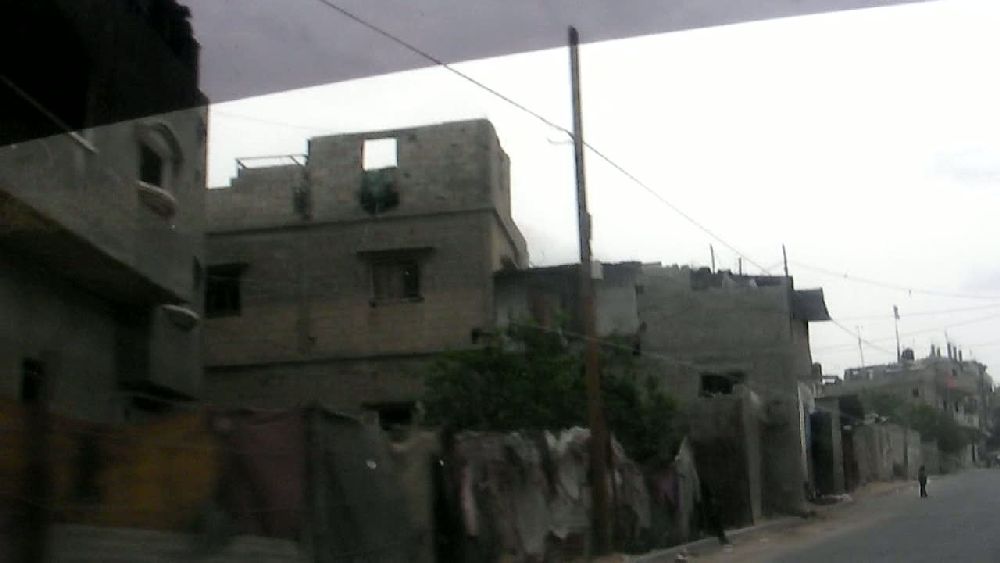 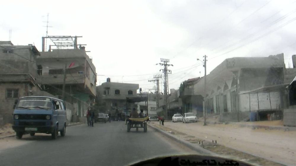 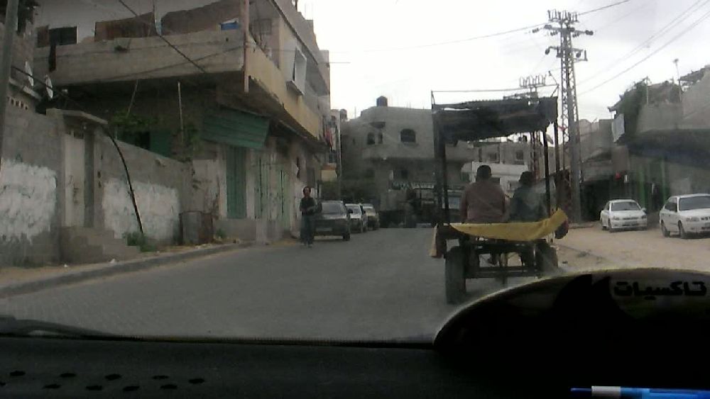  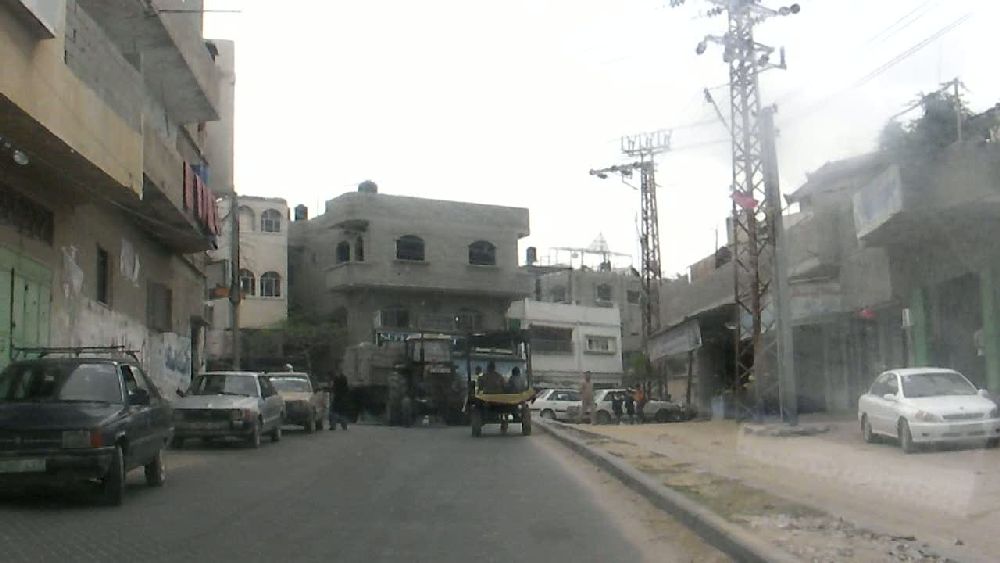 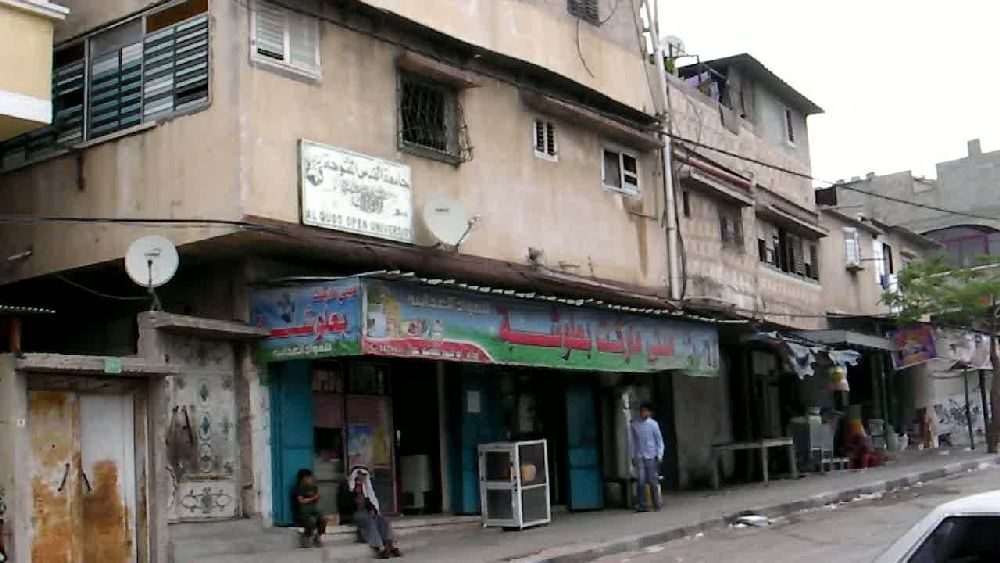 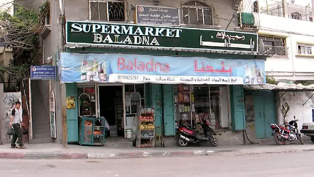 I asked the shopkeeper whether I could film. He agreed to it as long as I did not film him. To my surprise he was quite fluent in English and commented on the food situation as I was filming ( mp3-file, 2:53 Min, 1,4 MB). There will be another occasion in this report to point out that probably close to 100% of the items in the store came through the tunnels from Egypt ( list of goods allowed in from Israel). As I was listening I tried to film the various shelves. When I was later on looking at the video I had the impression that they were filled with what just happened to be available. The canned meat was sitting between canned fruit. The shopkeeper said that he could not get things as he wanted them. This brought back the days of my childhood when especially during the time of the Berlin blockade the children were sent over to the Eastern Zone (because the Western police were controlling the border, which in those days was still open) to buy whatever we could find. The shopkeeper mentioned that hardly anybody can afford to buy a can of corned beef for 7 Shekels ($1 => 3.9 Shekels) when the daily income often is only $1/day (the support of the UN apparently starts when the level goes below $2/day. See also an article in the New York Times/ International Herald Tribune of July 13, 2010). 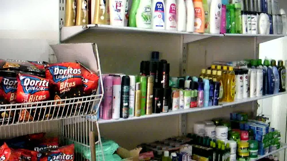 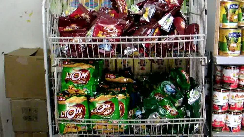 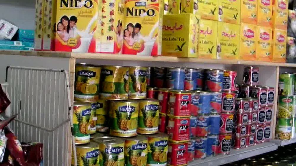 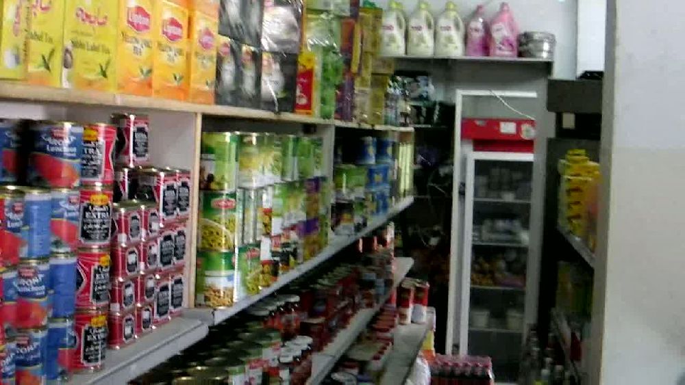 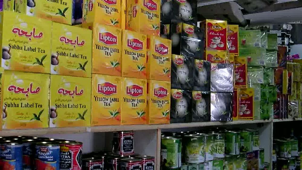 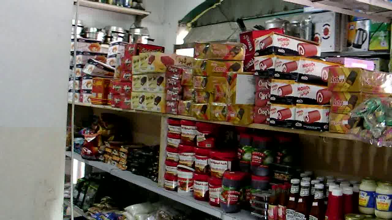 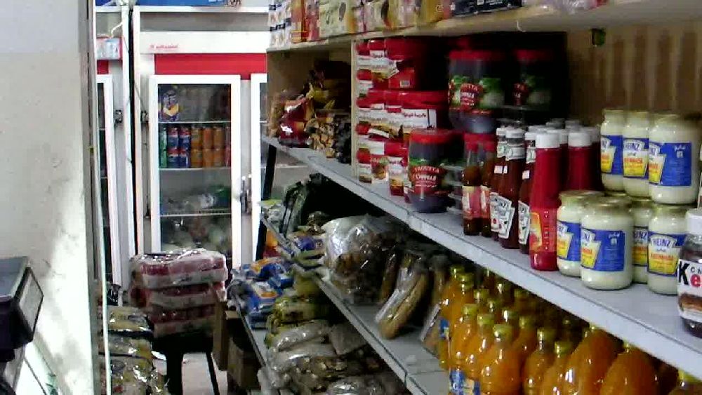 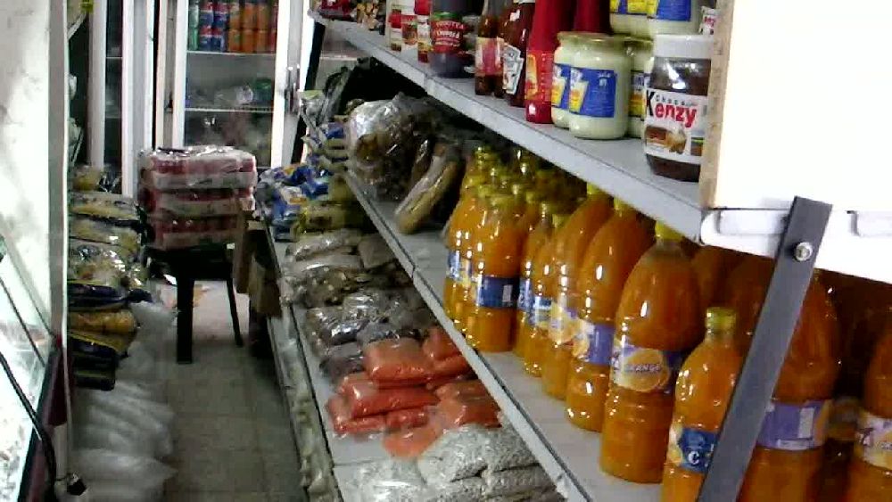 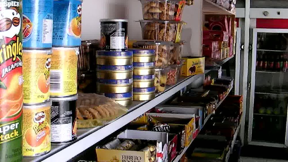 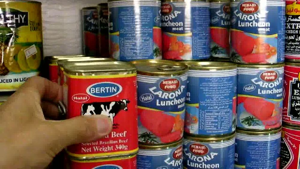 We proceeded in 'north easterly' direction towards the Erez crossing. On the way we passed some modern apartment blocks, some of which had very primitive iron sheeting huts in front of them.  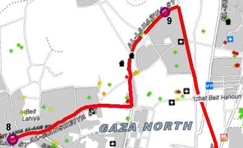 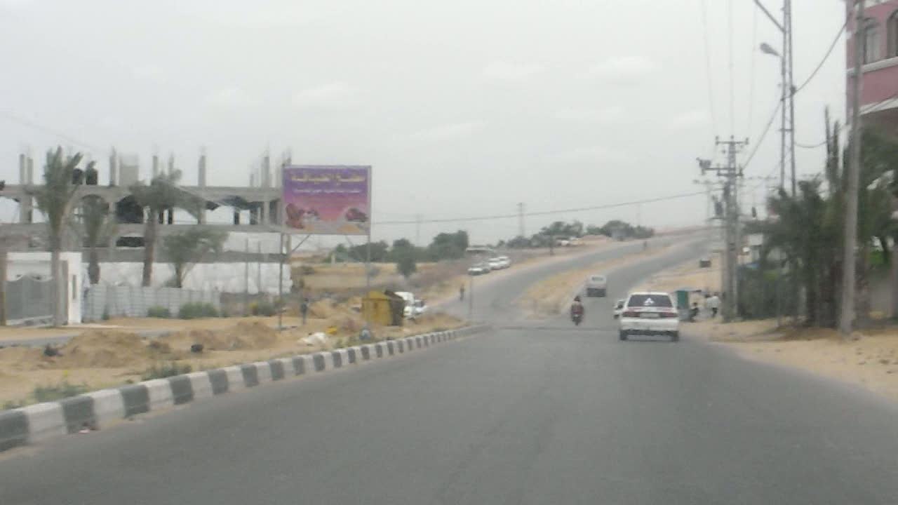
     Shortly before we reached the main road going towards Eretz we stopped, because we were right at the edge of the no-go zone and had a view of the wall along the 'northern' border (9). The third photo shows the roof of the Palestian checkpoint on the road to Eretz. 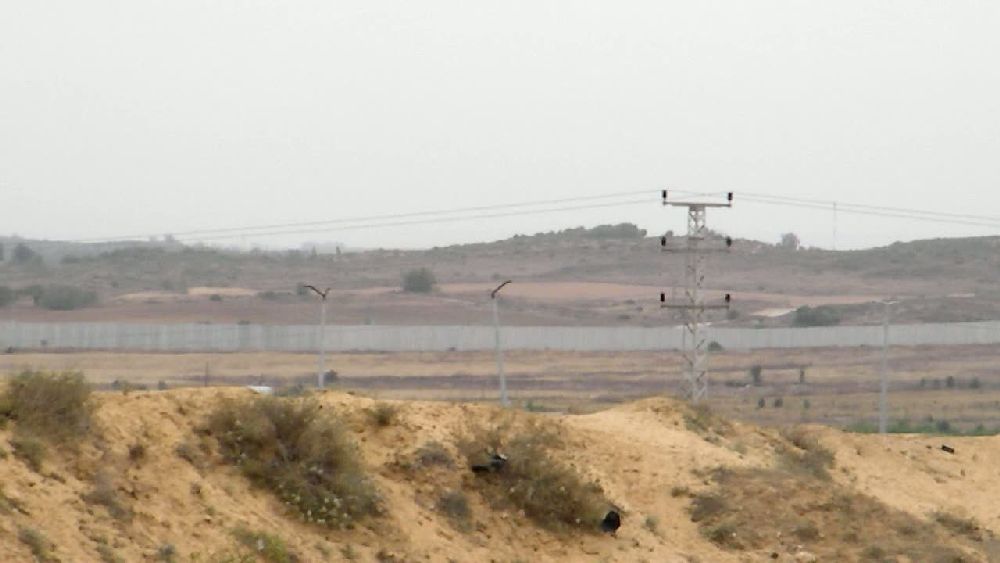 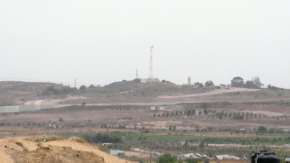 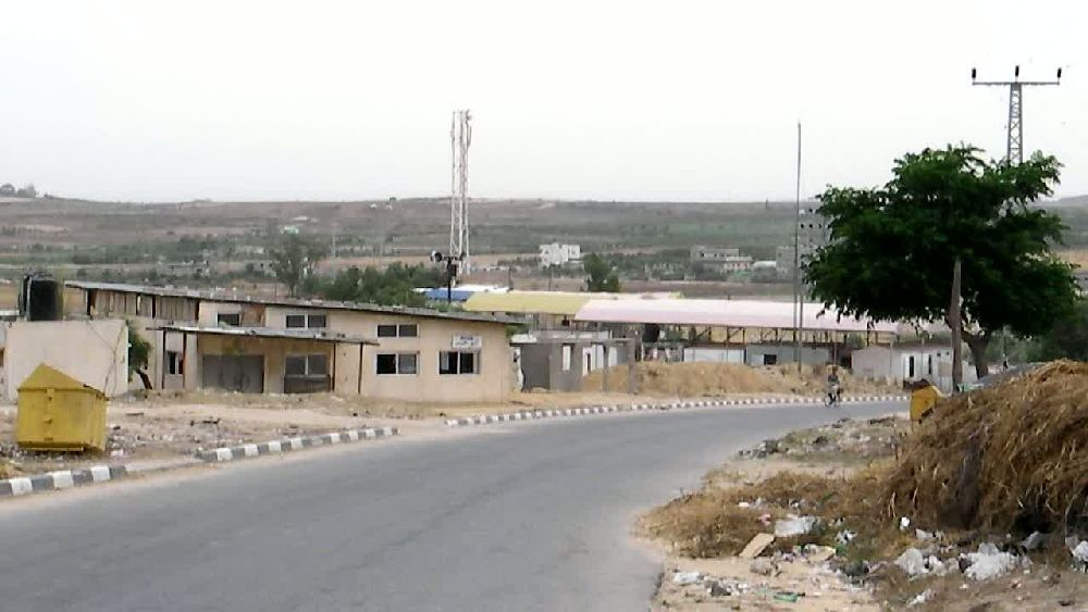 We had to go back to Gaza City because I had an appoinment in the Ministry of Health. As we reached the edge of Gaza City we came past a number of ruins that were not marked on the map. The Ministry is located in center city on one of the major roads, Al Wehda Street. The taxi driver took some of the smaller side streets to get there. The first two photos show one of the places were the rubble from the destroyed buildings is used to produce sinter blocks. The third photo shows on the left side the back of the greeting arch of Beit Hanoun. If the Gaza Freedom March had taken place we probably would have marched along this road on the way to Eretz. 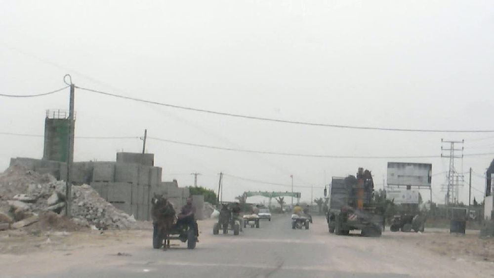 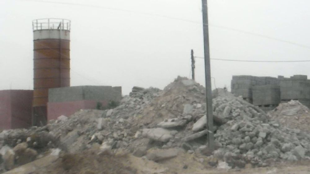 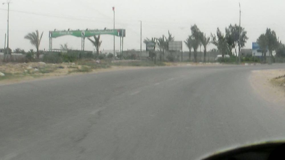 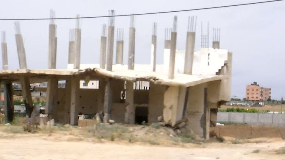 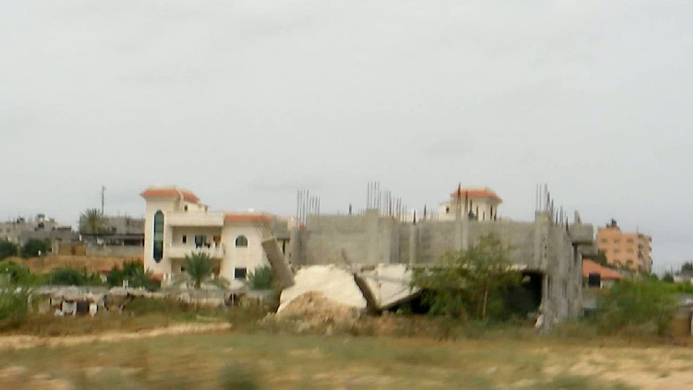 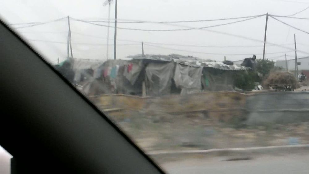     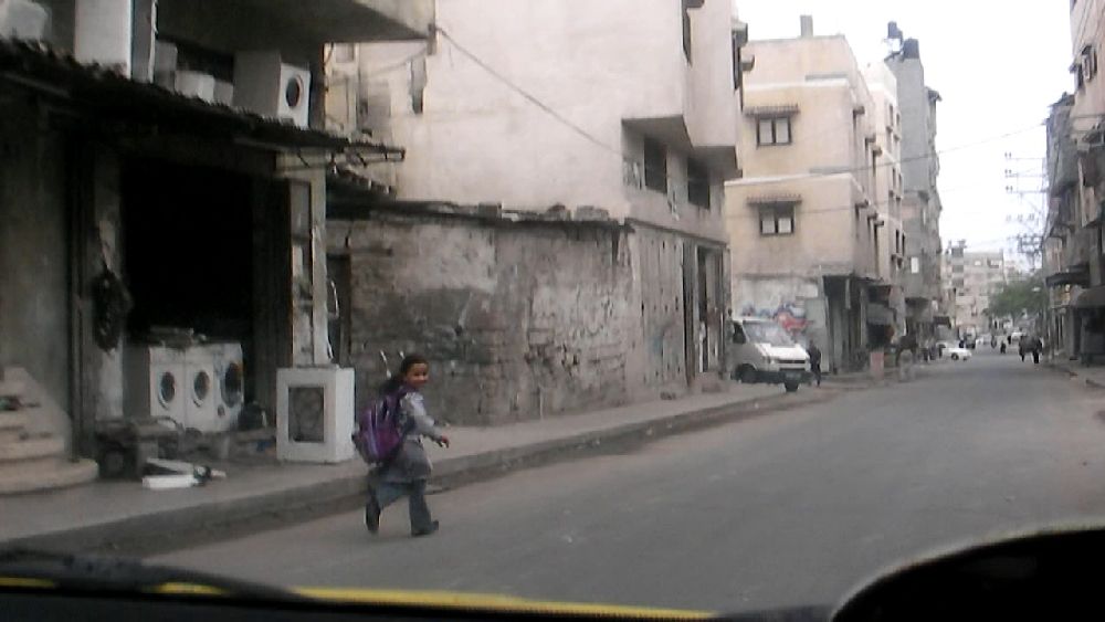 The background for the visit at the Ministry of Health was a conference at Bad Boll in June with the title "Partners for Peace, to talk with Hamas and Fatah" to which the Minister of Health, Basem Naim, was invited. As was to be expected, he did not get a visa for Germany. I went to the ministry in order to see whether there could be a technical solution to this situation. As it turned out, there was no intention to try any of that. Continuation in part 3
Back to contents page
|