Visiting Gaza
16. May 2010 - 26. May 2010A report by Peter Voss, part 5
Mouse click to enlarge photos, Alt + 'left arrow' to return
|
Day by day account
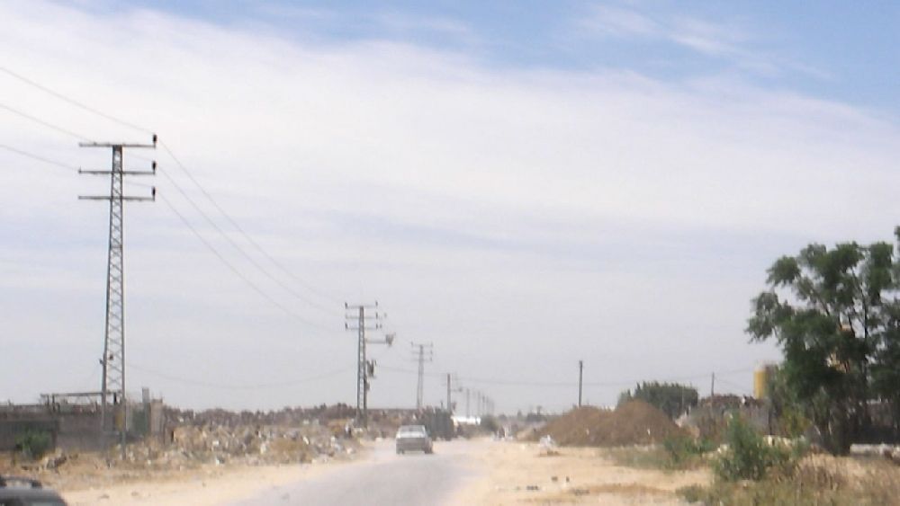
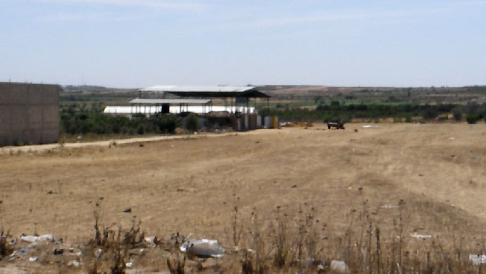
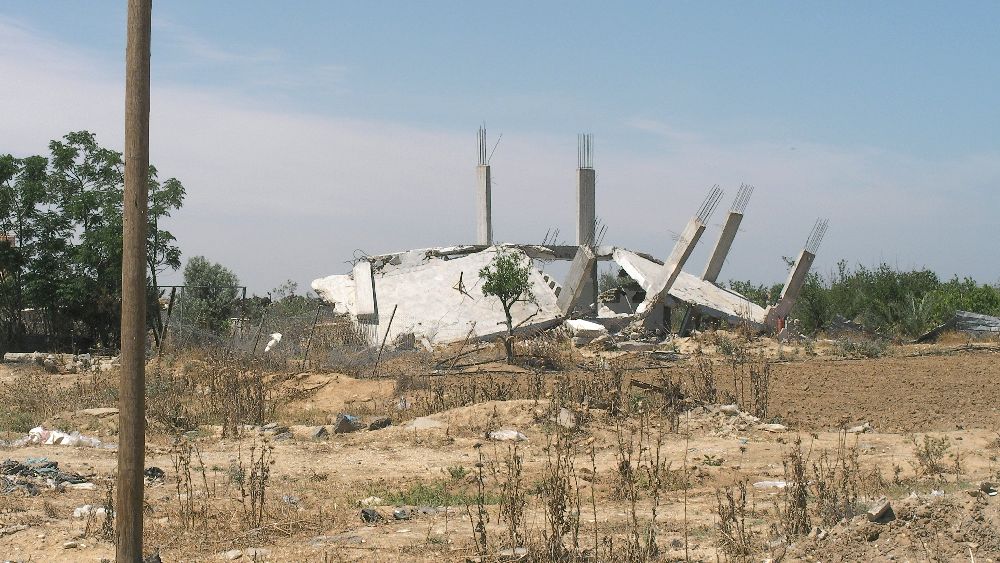
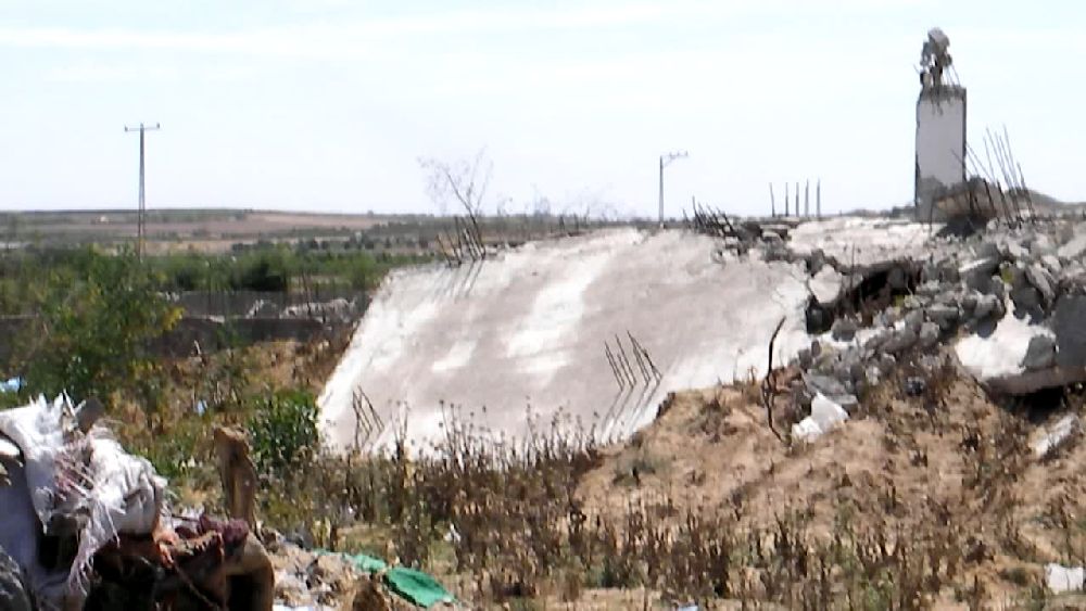
Friday, May 21, 2010 This day was my last full day - at least I had all reasons to believe so, because my permit was good until Saturday. There were quite a few things left that I would have liked to do, but there was just not enough time. For this day I planned to visit the north-eastern corner of Beit Hanoun. For some reason I felt that it was very important to go back to Rafah and get a better shot from the garbage dump near the waste water treatment plant and I wanted to visit the refugee camp of Jabalia. I also wanted to visit UNRWA-headquarters (United Nations Relief and Works Agency), but wanted to leave that for the next day before I left. On the way to Rafah I wanted to travel the eastern route going through the area outside the urban section of Gaza City that had seen the highest density of damage during the operation 'Cast Lead' and which would have been the starting point (the village Izbat Abed Rabbo I have not found on any map) for the Gaza Freedom March. Even though I had realized that the video mode was problematic for panorama views (actually not a new realization), I did still switch right away to the photo mode when an occasion like that came up on this day. For reasons that may or may not have been accidental, my GPS system gave wrong readings in the north-eastern section of the Gaza strip. As I started writing this report I came across another source for a detailed map of Gaza, the 'OpenStreetMap' project which contains a detailed road map of the Gaza Strip, though not every little side road that I sometimes travelled. (See also "Pam Bailey, "Project Struggles to Create Gaza City's First "Tourist" Map", Pam Bailey was the coordinator for the 'extended stay' group of the Gaza Freedom March). What is interesting about this map is that it marks all the various businesses from the bakery to the industrial park and all the mosques - the later ones; however, only when one goes to the highest magnification. From the references on this map I could figure out where I actually took some of the photos going south along the eastern main road (Al-Karama Street). I copied the Al-Karama Street section of the map into this report. I woke up early this morning (5:45 a.m.) and when I looked out of the window I saw the fisherboats coming in and some fishermen at the beach with nets that they were skillfully throwing out. The situation of the fishing industry in Gaza is described by an OCHA report from May 25, 2010: "Fishing area and catches shrinking Since January 2009, fishers’ access to fishing grounds has been further restricted to 3 nautical miles (nm) from the shore. This has resulted in a depletion of catches and revenues. In Gaza, the majority of profits from fishing come from sardines, however, schools of sardine pass beyond the 3 nm mark and sardine catches are down 72%. [25, Ministry of Agriculture, Fisheries Department, 2009] Adult fish are mostly found beyond the 3 nm limit and therefore fishing within the current zone rapidly depletes new generations of fish, with severe implications for fish life‐cycles and therefore long‐term fishing livelihoods. (The previous fishing zone was 6-9 nm before 'Cast Lead', 12 nm from Bertini Commitments, and 20 nm under the Oslo Accords.) Between 2008 and 2009, total catch decreased by 47%, and is insufficient to meet the demands of Gaza’s fast‐growing population. [26, 20 000 tons are needed annually according to the World Bank (Palestinian Economic Prospects: Gaza Recovery and West Bank Revival. 8 Jun 2009)] To fill the gap, traders are importing limited quantities of fresh and frozen fish from Israel and through tunnels under the Gaza‐Egypt border. [27, 127 tons of fresh fish came from Israel in 2009 (Paltrade)] There are also reports of fishers illegally crossing into Egyptian waters, either to fish or to buy from Egyptian fishers. Additionally, a small number of backyard aquaculture projects (fish farms) have been implemented by humanitarian agencies to protect livelihoods and increase the protein available to Gaza’s food‐insecure population. However, such activities are a poor substitute for allowing Gaza’s fishers to secure nutritious fresh fish to the Gaza population and their own traditional livelihoods, and the future of this vital sector is being dangerously undermined." 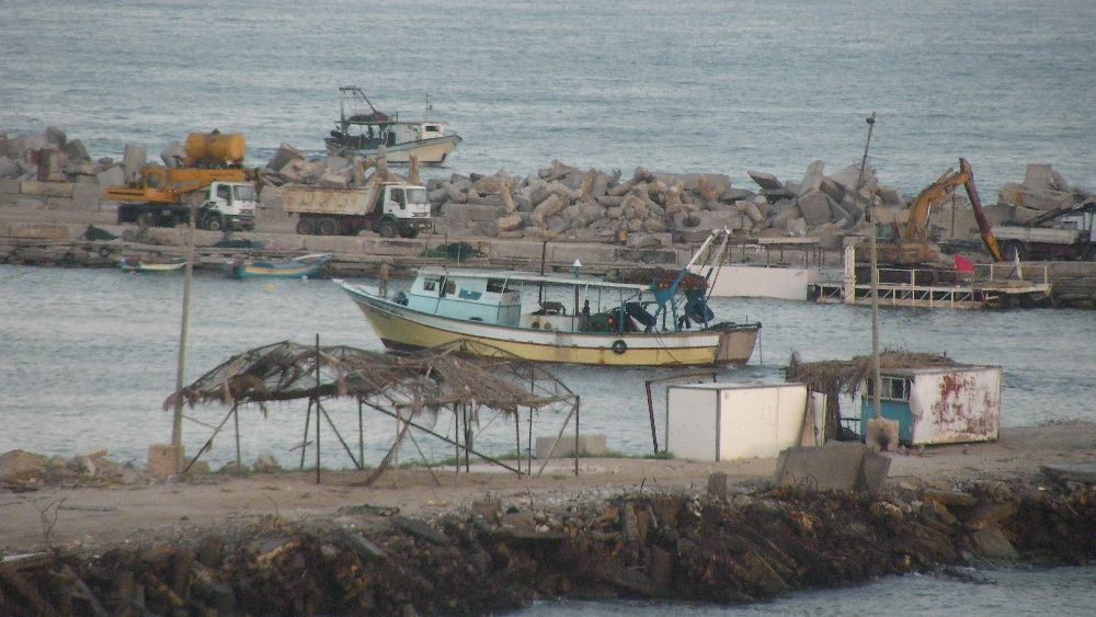 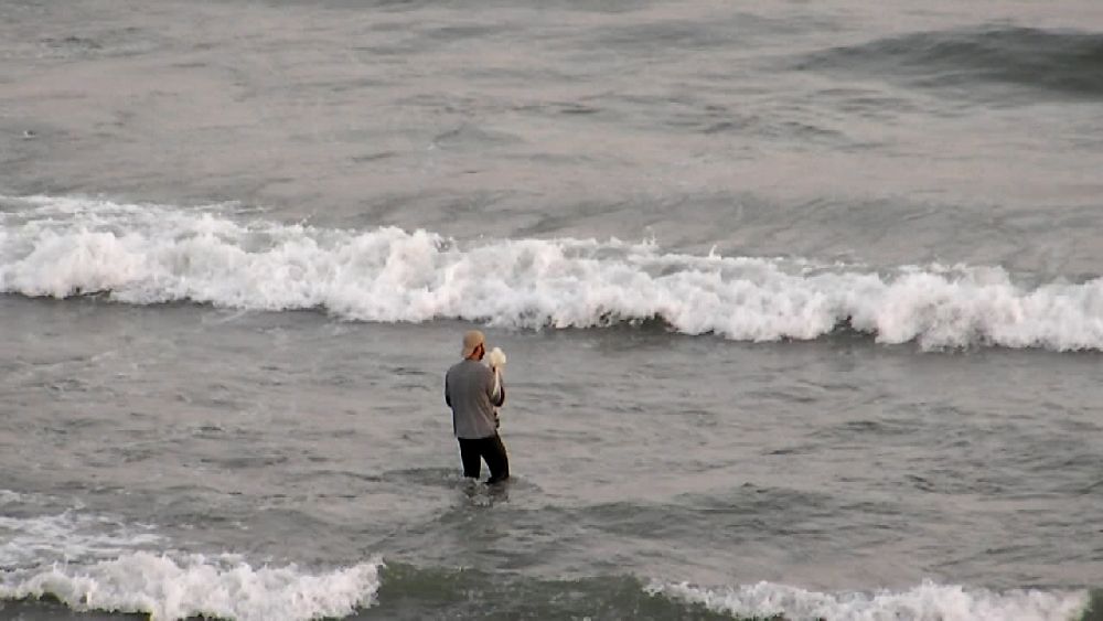 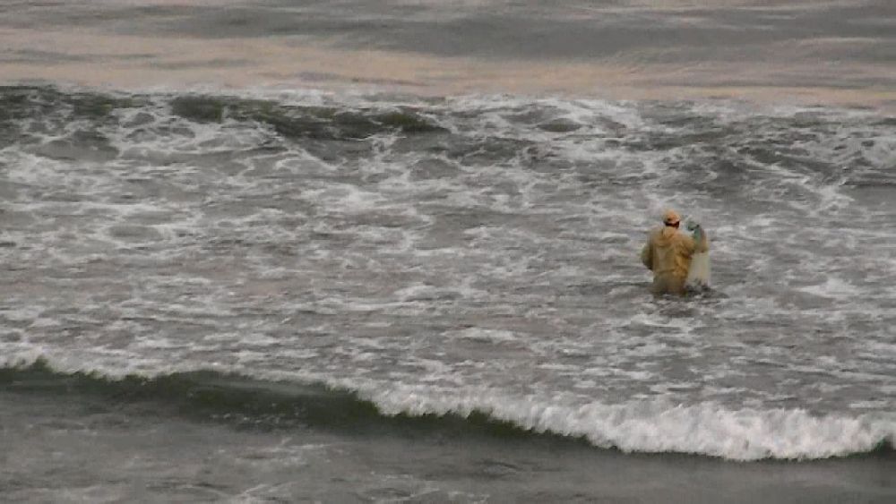 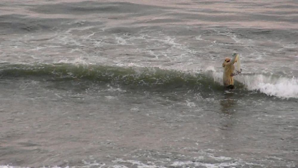 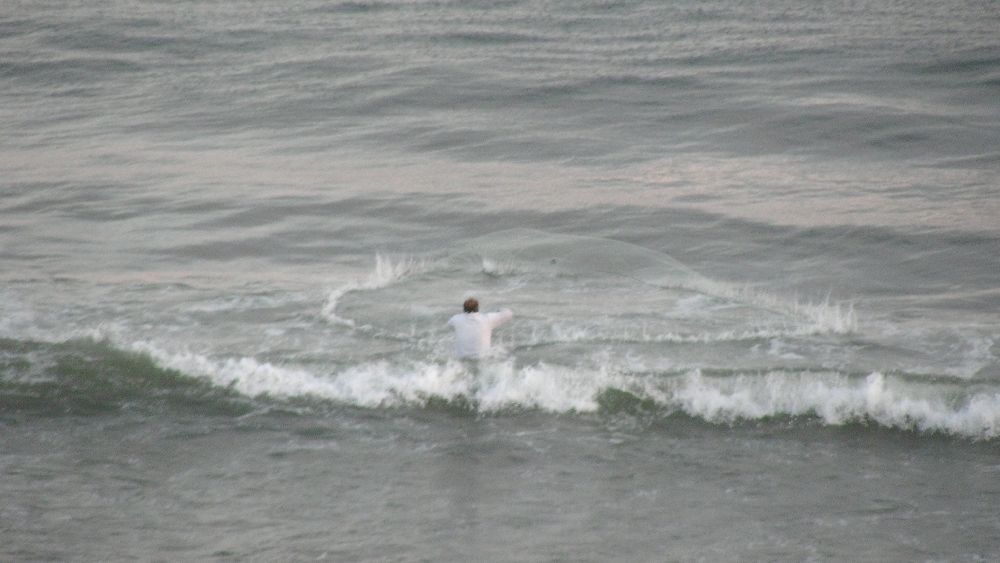 In the background of the first photo there are some trucks and a crane visible. This was an activity in preparation for the arrival of the Free Gaza flotilla. I had a closer look at that later (part 6). After breakfast I walked over to the harbor. I just walked into the entrance section. I have not been to many fisher harbors. But this one had the distinction that there was hardly any smell of fish. 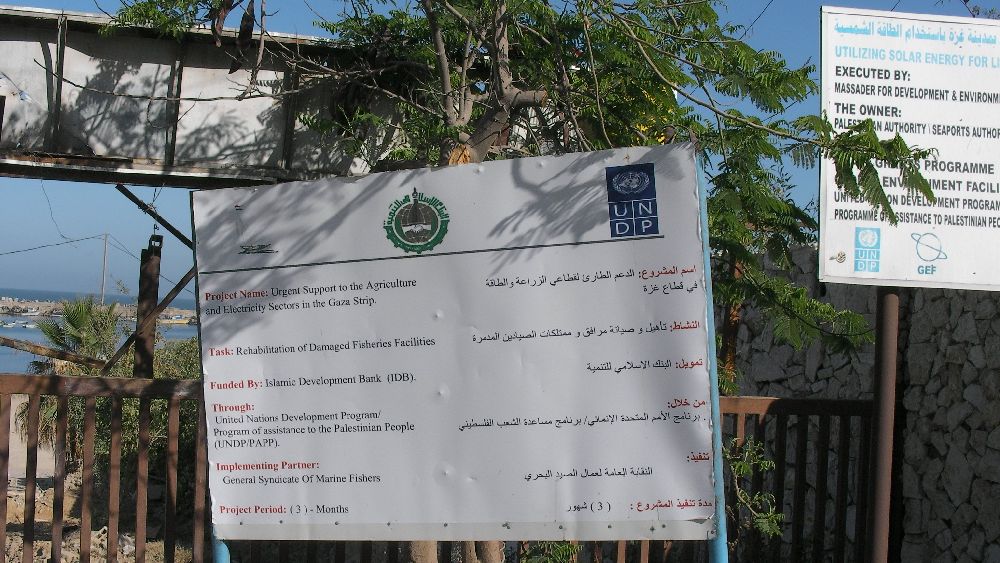 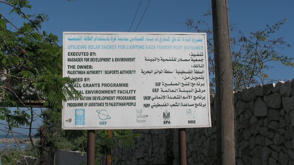 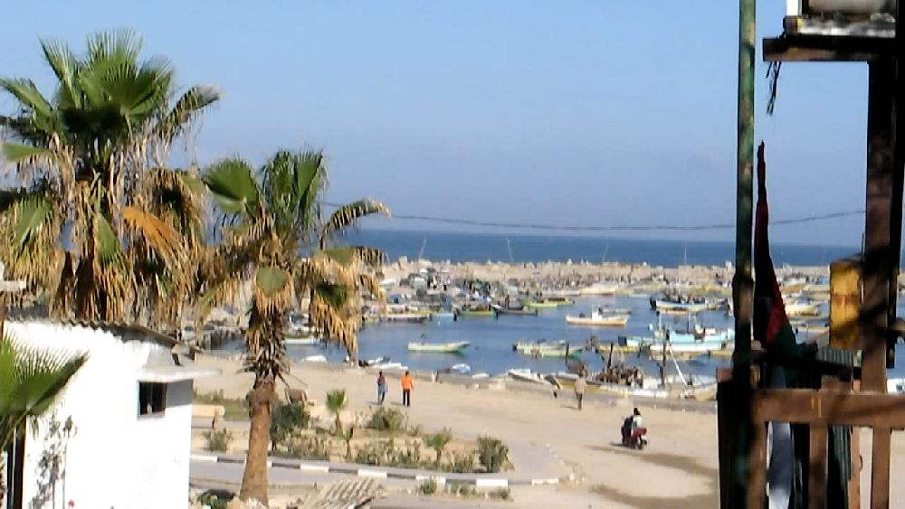 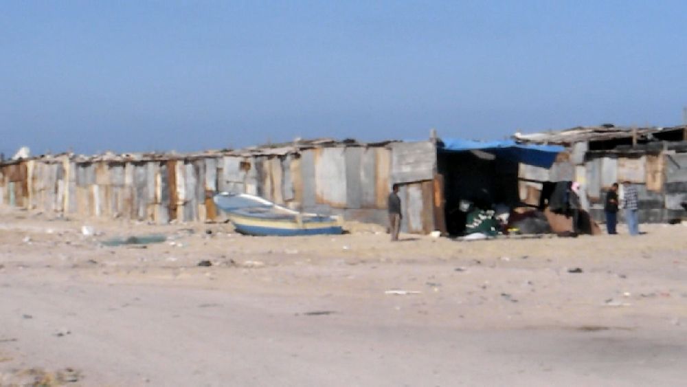 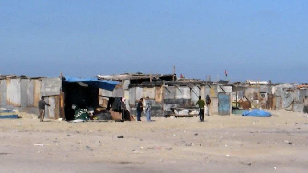 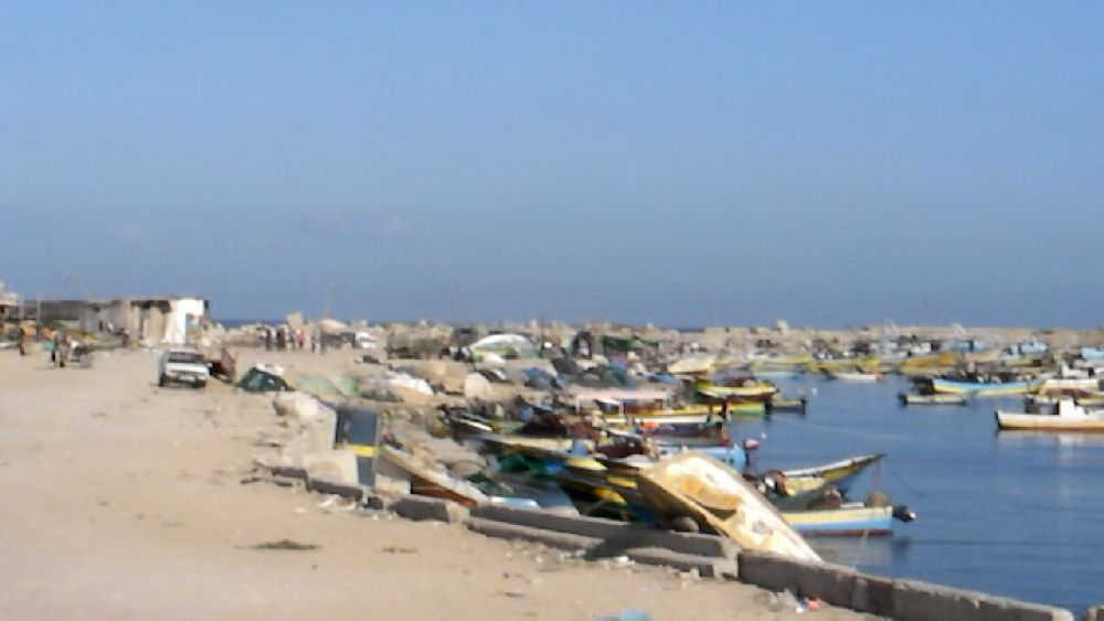 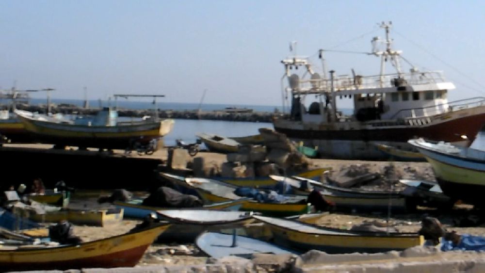 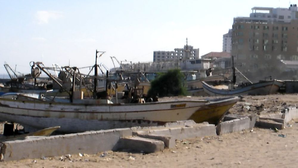 Because it was a weekend day there was not much traffic in front of the hotel and I therefore ordered a taxi. The taxi rates had been a source of confusion for me, because various people had told me:"Don't pay more than this" or "Don't pay more than that" and had actually caused me to make make some wrong decisions. It all applied to rides in town in shared taxis. Longer rides, like the one I was taking this day, cost significantly more, but still were not really all that expensive (of the order of € 20). 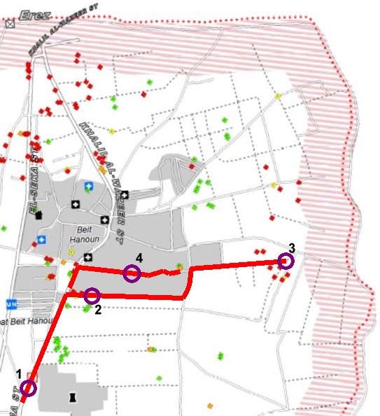 We drove north in direction Beit Hanoun. 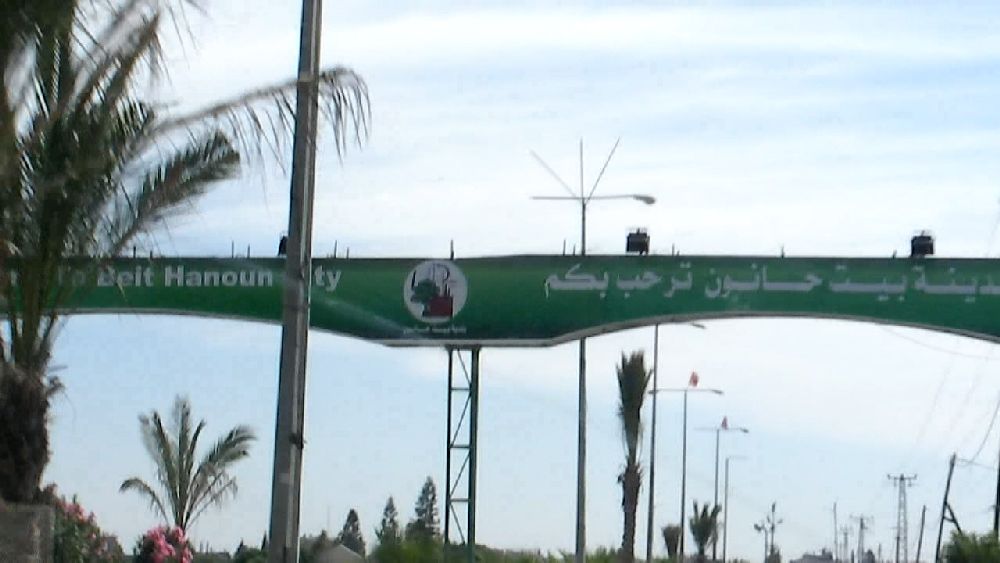 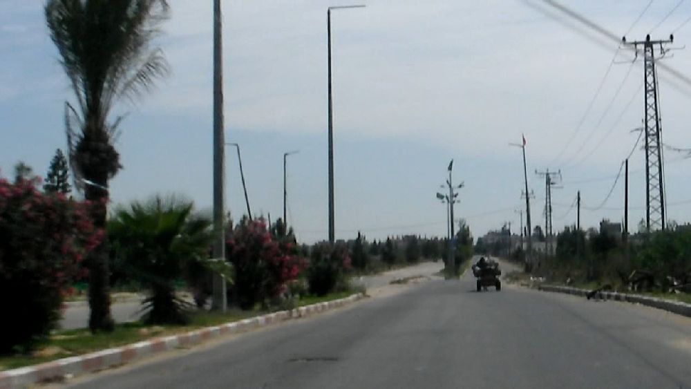 (1) 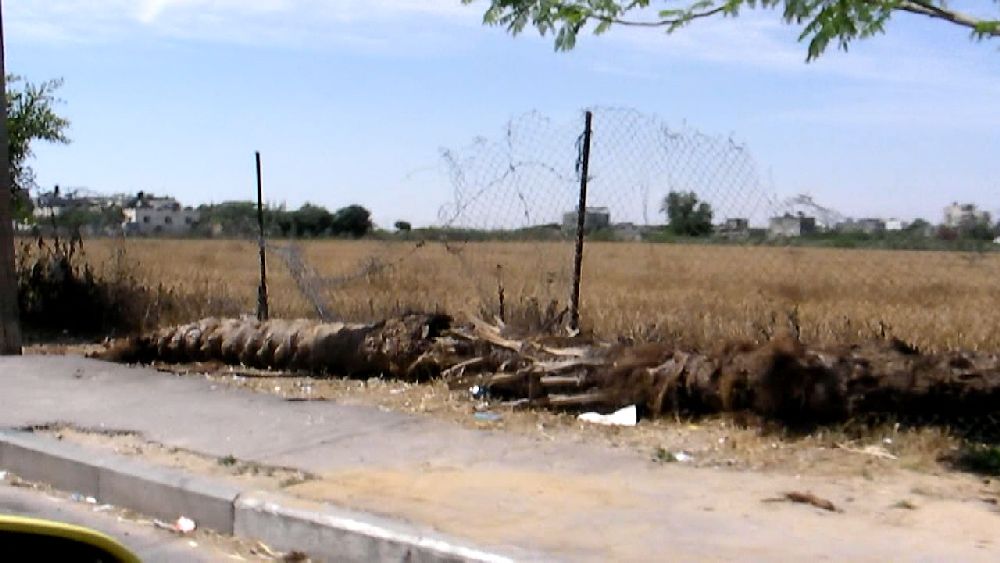 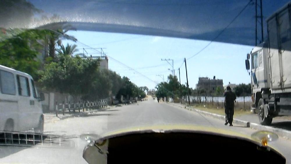 (2) grain field We drove to the end of the road leading to the 'east' out of Beit Hanoun (3). I had taken my one-legged camera stand along assuming that it would help in getting a more steady turn during the filming of a panorama. It did not solve the problem, though. I was either nervous or in a hurry. The panoramas shown below were actually taken going from east to north, i.e. starting with filming of the captive balloon. There is no low resolution footage corresponding to the high magnification one. The panoramas do not show much of the border region, in particular since I did not take any notes on which site was in which direction. However, the panoramas give a general idea of what the area looked like. Since this used to be the preferred area to shoot rockets into Israel due to their range limitations, this area has seen many Israeli attacks and much destruction already in earlier years. The captive balloon that can be seen in the lower panorama and in the photos below carries a radar detection system. It surveys the region for rockets flying towards Israel. From the collected data the flight path of the rocket is determined and an alarm triggered for the area where the rocket is likely to come down. For the normal short-range Qassam rockets about 15 seconds pass between the sounding of the alarm and the impact.  High magnification panorama starting in 'northern' direction and turning 'east' 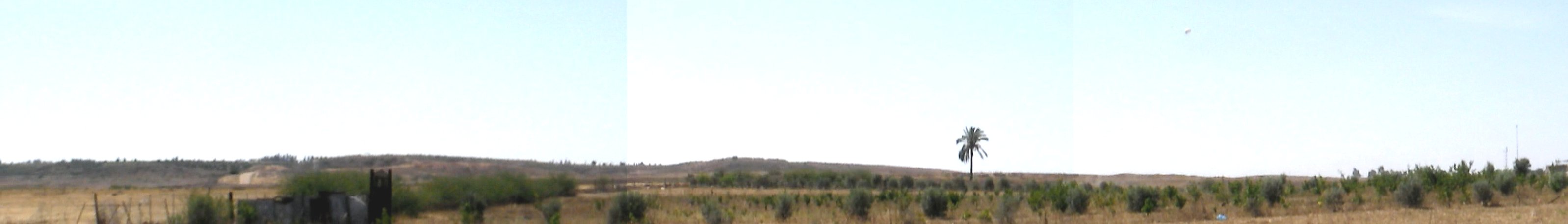 Low magnification panorama; continuation of the high magnification strip. The captive balloon is visible to the right of the palm tree. 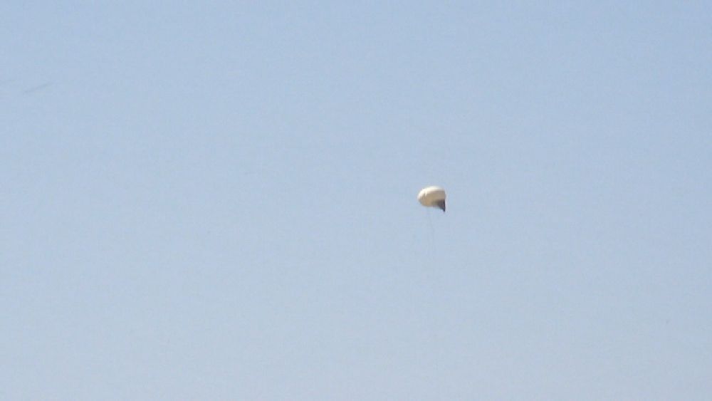 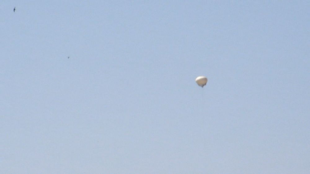 Captive Balloon with radar system. 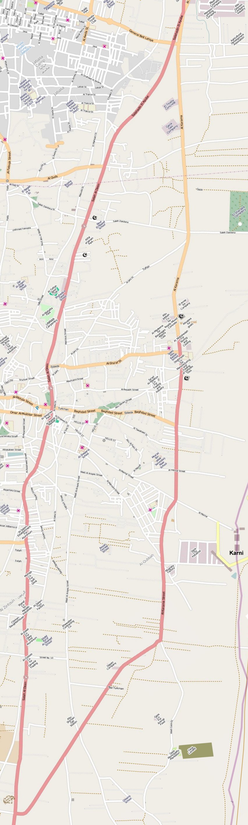
OpenStreetMap of Salah El-Deen Street and Al-Karama Street
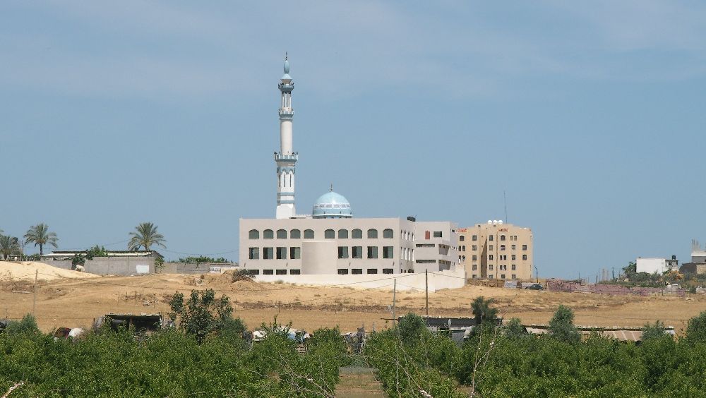
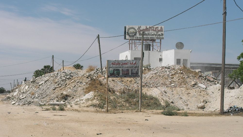
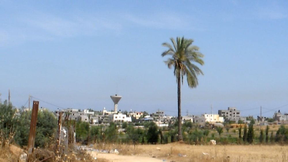 (3) View back on Beit Hanoun 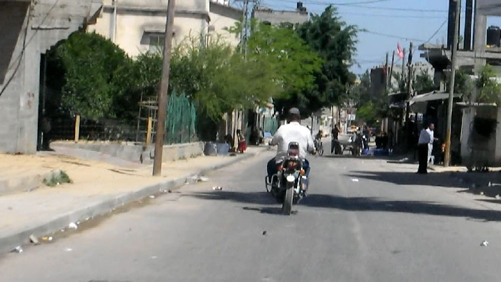 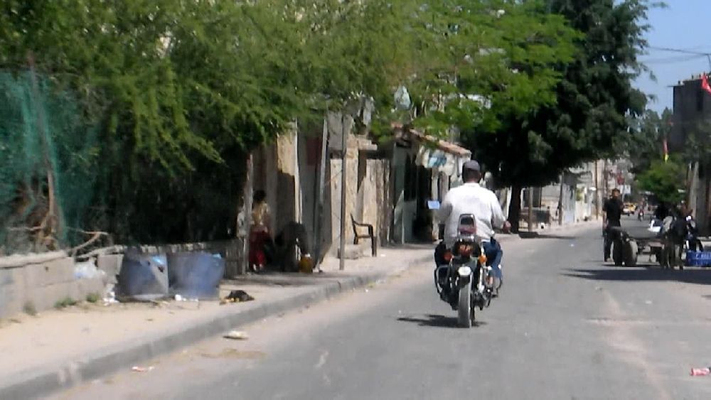 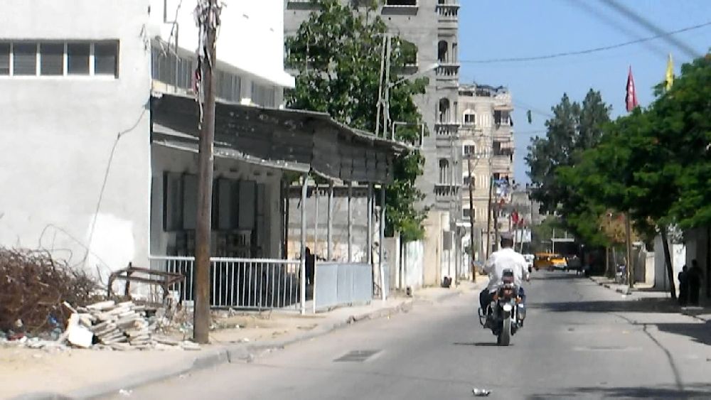 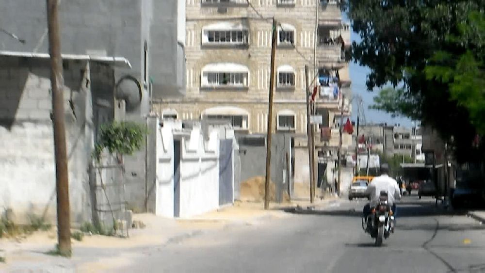 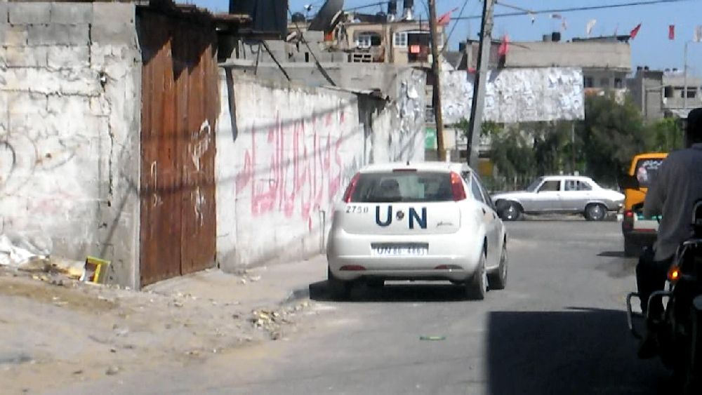 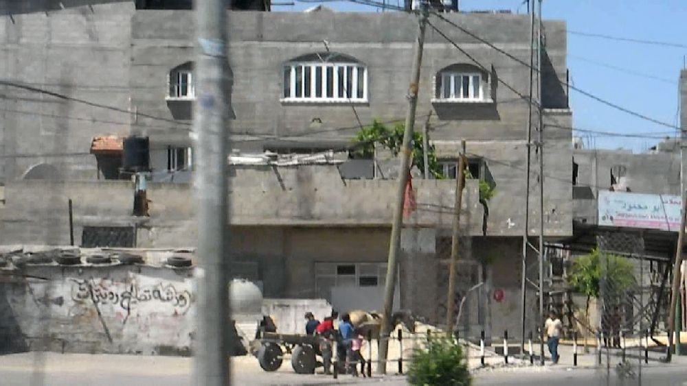 (4) Driving through Beit Hanoun From Beit Hanoun we turned 'south' towards Rafah, where I wanted to repeat the filming from the garbage dump of the day before. This was about the longest stretch that one can drive in the Gaza strip. Driving along Al-Karama Street it became apparent that the soil here was not just sand as it was closer to the coast. From the OpenStreetMap can also also deduct that quite a bit of industry and agricultural activity is concentrated in this area. On page 97 the UNDP report "One year after" reads: "Damages Over 46% of the agricultural land in the Gaza Strip has been damaged or became inaccessible as a result of Cast Lead, particularly since the Buffer Zone in the immediate vicinity of the Wall has been increased, a restriction that continues to be militarily enforced.[ref. 5] Approximately 16 [1986 ha] - 17% of agricultural land was severely damaged by bombing, military vehicles’ movements and leveling, and indiscriminate actions, including 17.5% of the orchards of mature trees and 9.2% of open fields.[Agricultural survey of UNDP/PAPP...] In addition, over 4,000 cattle, sheep and goats and more than one million birds and chickens (broilers and egg layers) were killed during Cast Lead, with evidence of livestock being the direct target of Israeli machine guns.[ref 8].", and with respect to industry and trading: "Damages Before and after Cast Lead, the closure of border crossings severely impacted the industrial sector. Soon after June 2007, 3,750 industrial establishments were shut down, i.e. 90% of the total industrial entities and 33,000 workers were laid off, or 94% of the number of workers employed in the sector.[Private Sector Coordination Council. ...] ... The main damages of the offensive were the destruction of the main production elements ‘buildings and equipment’ which represent 94% of the total damages. Destroyed goods constituted a small percentage, 6%, of the total destruction. This is due to the fact that most of the manufacturing plants had already shut down and no finished goods existed; and no raw and construction goods were allowed to enter Gaza before Cast Lead." 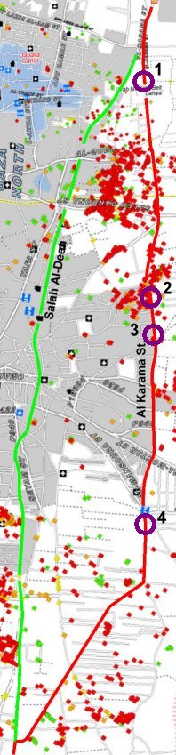
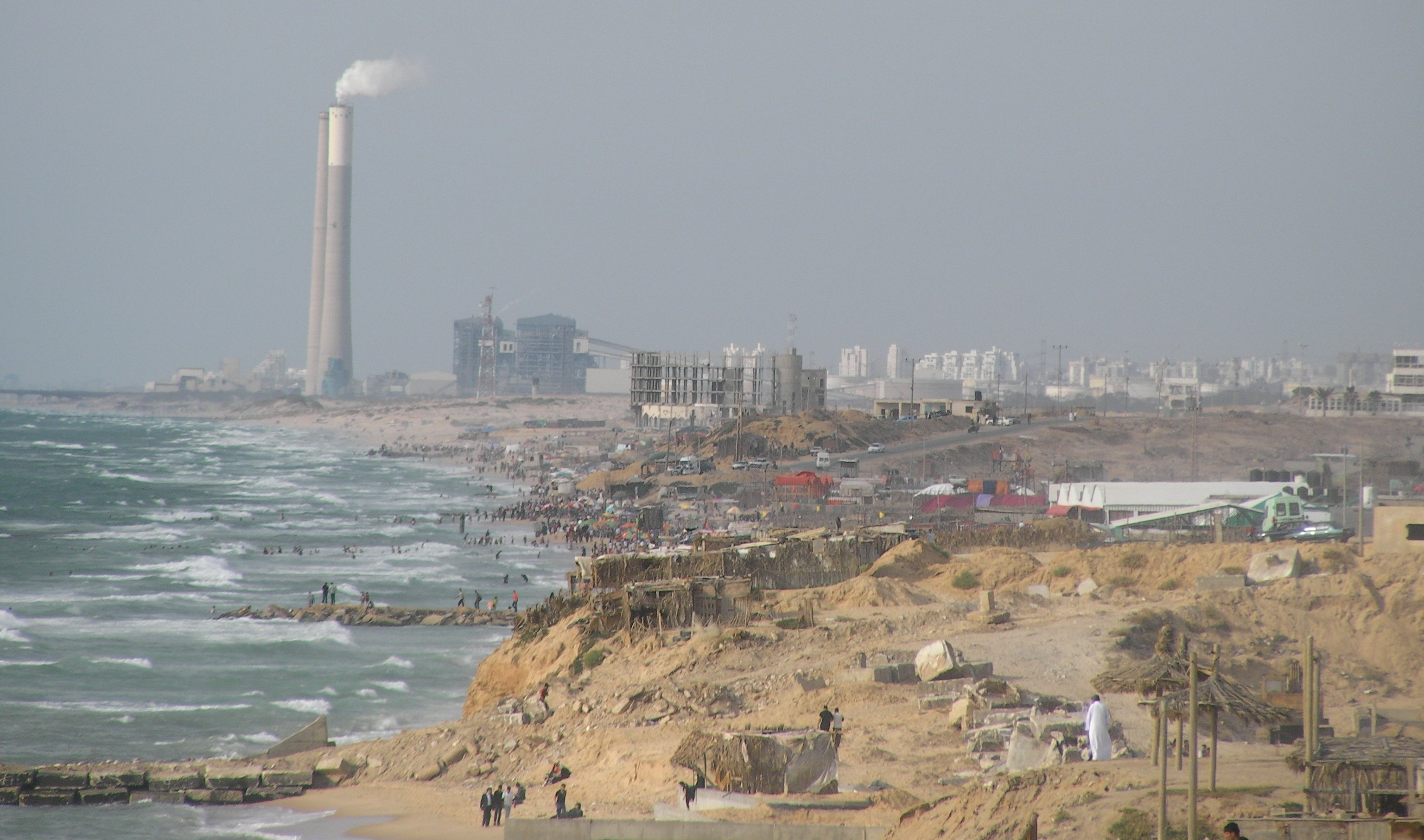
      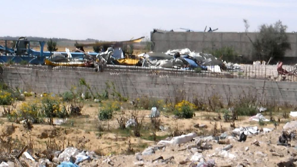 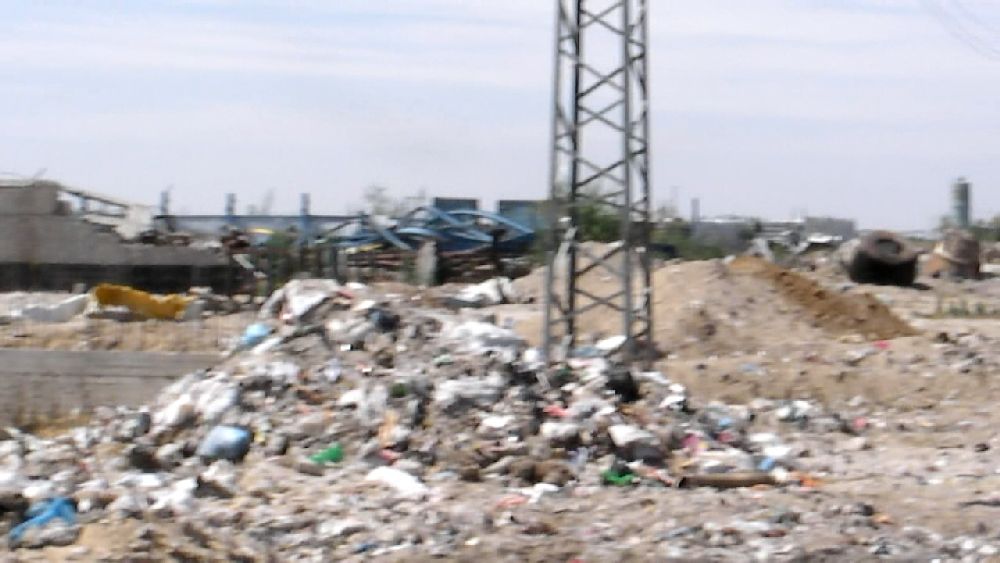 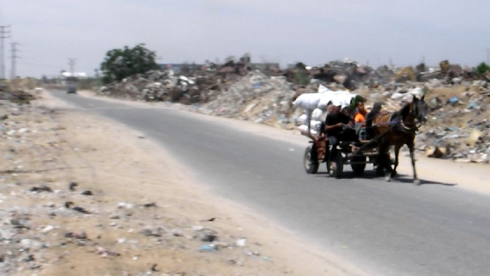 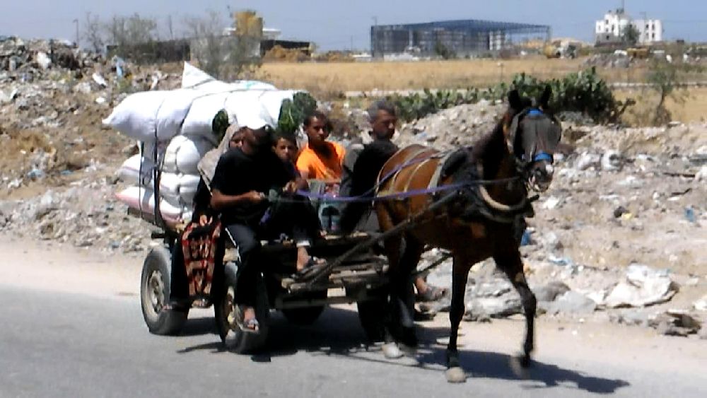 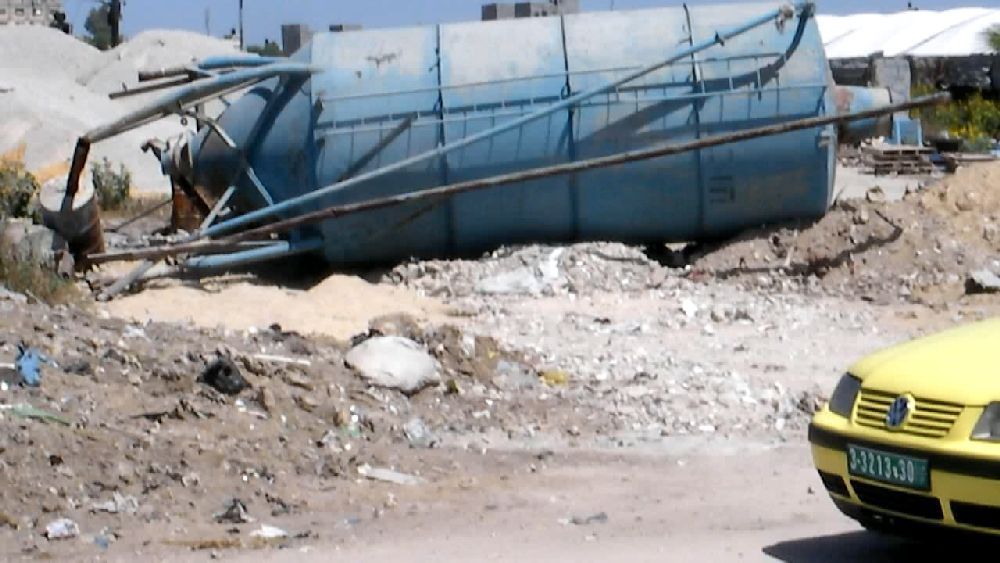 (1) (1)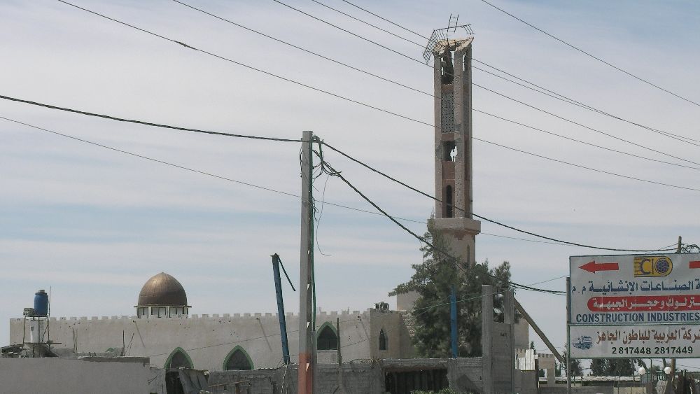 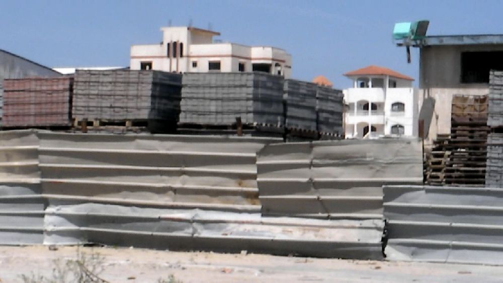 (2) 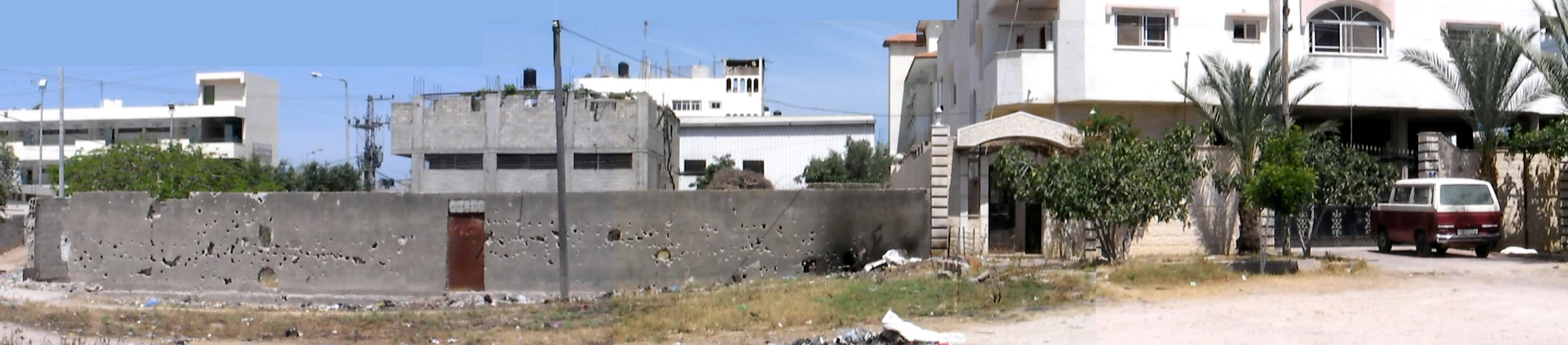 (3) Israeli grafitti 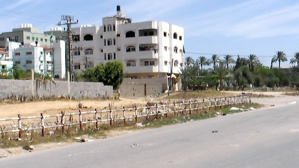     (3) Right next to the grafitti 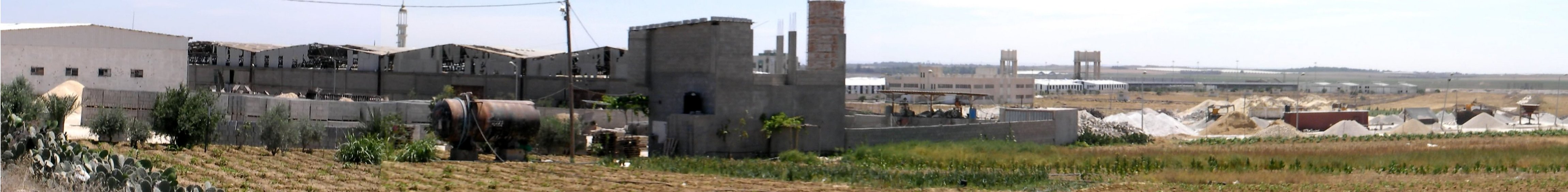 (4) If this panorama were a little bit sharper one could probably see the Karni crossing in the background. I was not aware of it when I filmed this sequence. How many bullets does it take to do all the damage to the halls?  Near (4); Panorama view of the lower end of Gaza City (still photos taken with the video camera)  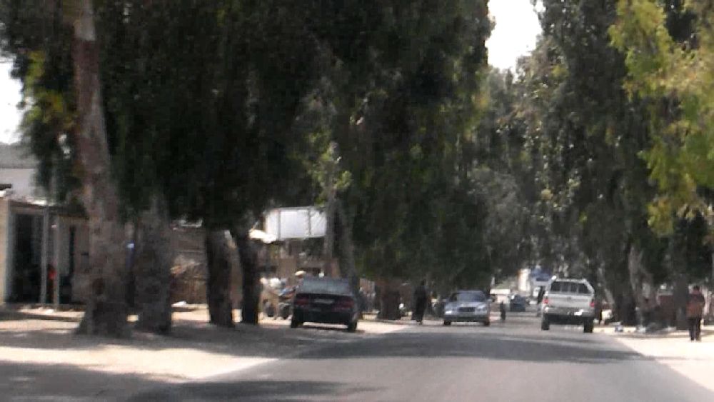 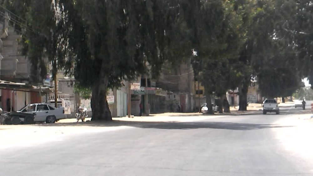 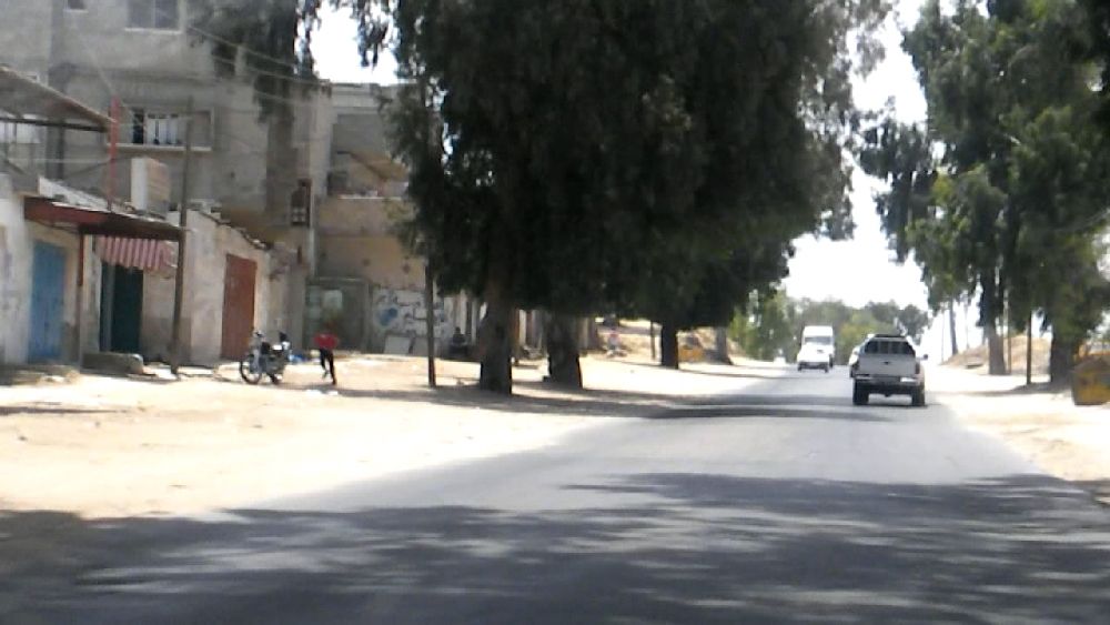 'South' of An Nuseirat camp; more of the trees on the 'eastern' by-pass road in Khan Yunis As we drove into Rafah it was exactly noon. There was hardly any shadow to be seen that could be used for orientation. 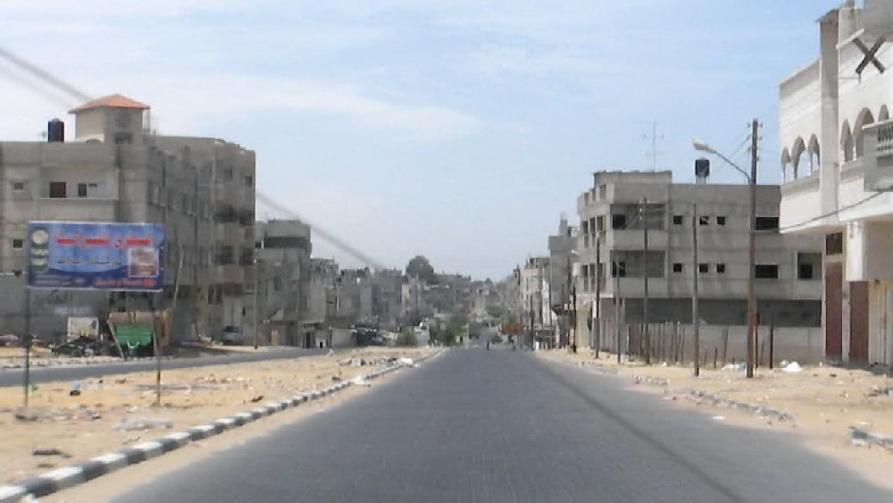 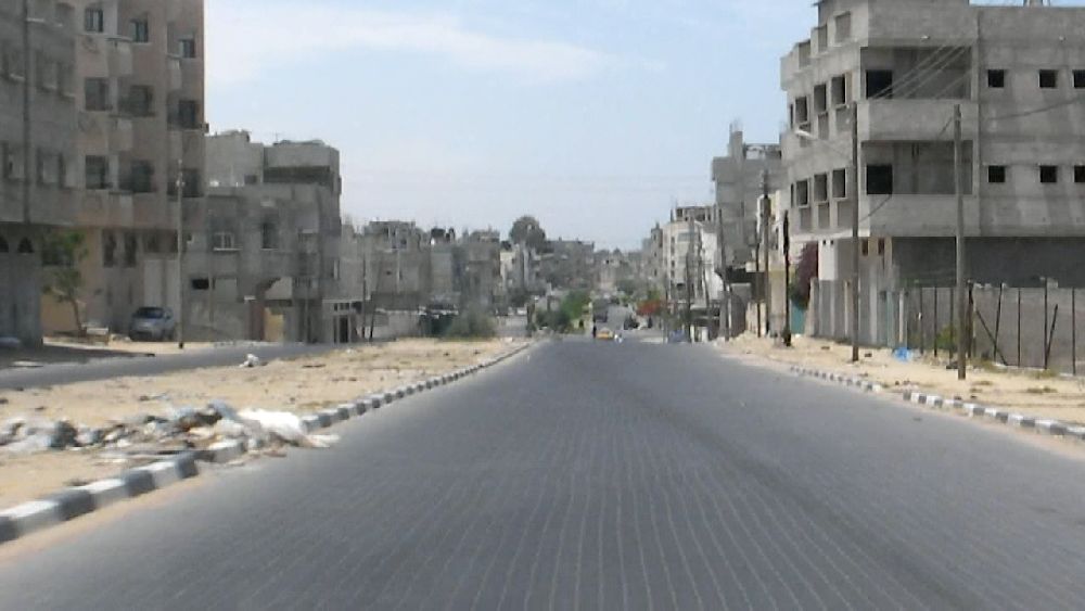 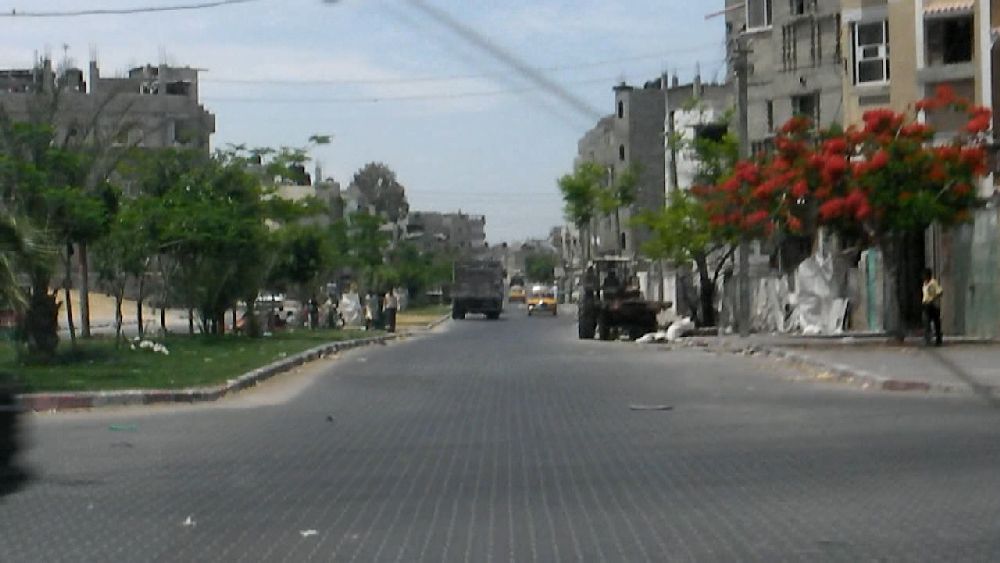 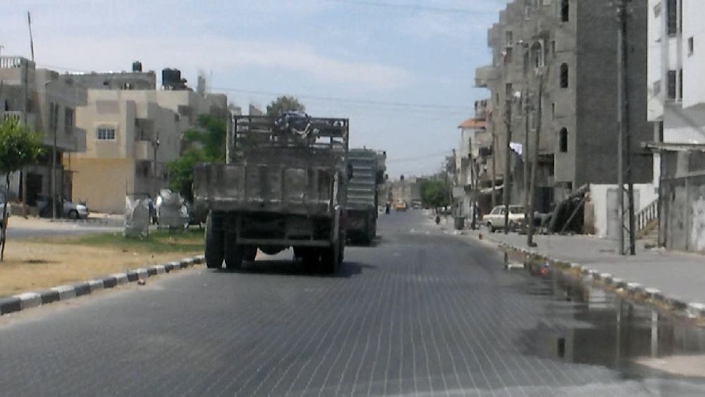 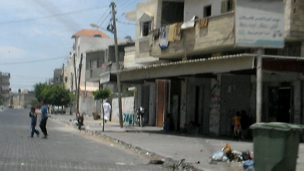 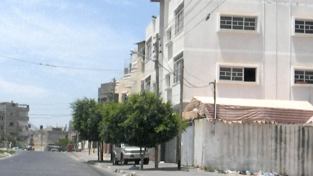 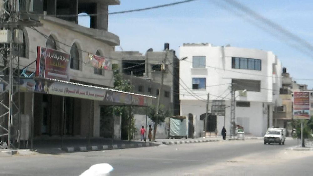 These photos have some significance in the development of events. They also show one of the roads where sinter blocks were used as road surface (see interview with professor Jendia). When this road ended, we somehow always ended up driving out of town, but not the way I had intended. I would have thought that it should not have been very difficult to get close to the border, but it obviously was. We drove through some sandy side roads that were lined by some rather poor living quarters. Eventually we ended up at a checkpoint. But the policemen there apparently had never seen a map before and were of no help. 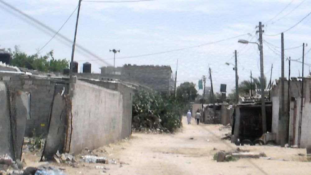 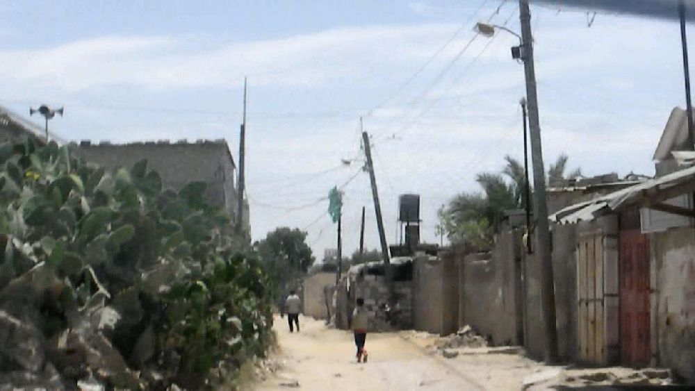 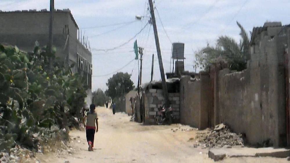 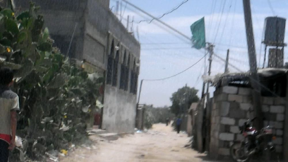 Finally I stopped a taxi and we asked the driver whether he knew the way to the border. He seemed to know. The taxi happened to go in the right direction, so we could follow it. I could relax and do some more filming. 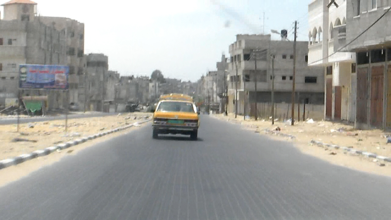 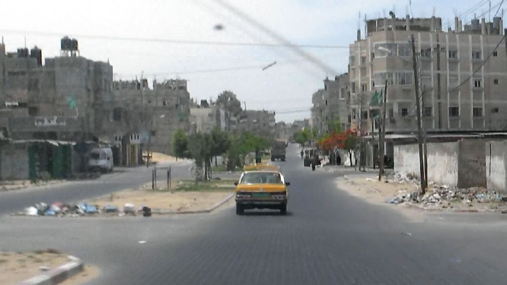 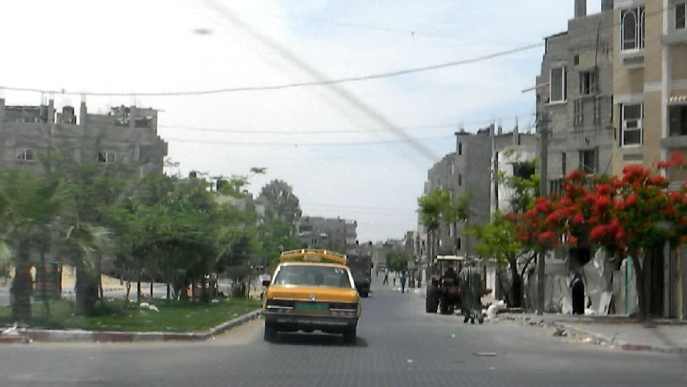 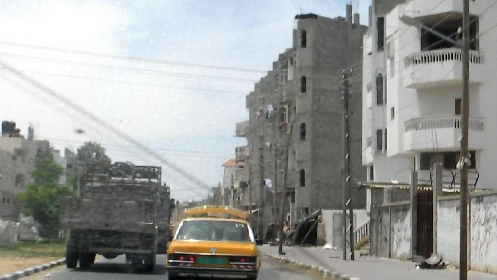 These photos look pretty familiar, They were taken an hour after the sequence above. From particular features of roads and houses I was able to reconstruct from the satellite image of the area the path along which we moved. 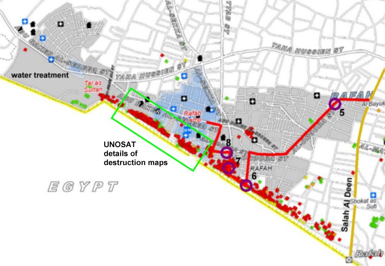 I was hesitant to film all the time and this way I had a good view of a tunnel ramp going down towards us. We drove across the entrance of the tunnel. Virtually all of these tunnels were bombed during 'Cast Lead' to the degree that there were none of the tents left (the UN published a detailed destruction analysis for the area marked with the green rectangle, see extra page). As can be seen on two of the photos below some of the buildings at the edge of the tunnel field went down with them. We soon indicated to the boy that I wanted to get out of the area and he even understood that we wanted to go towards the beach. So he guided us out. 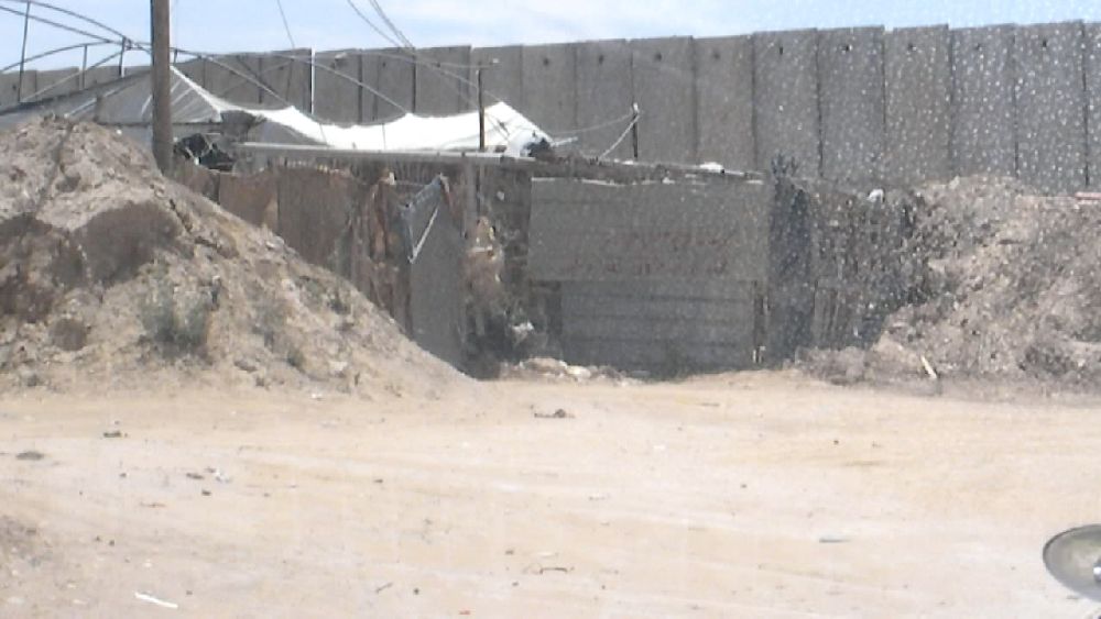 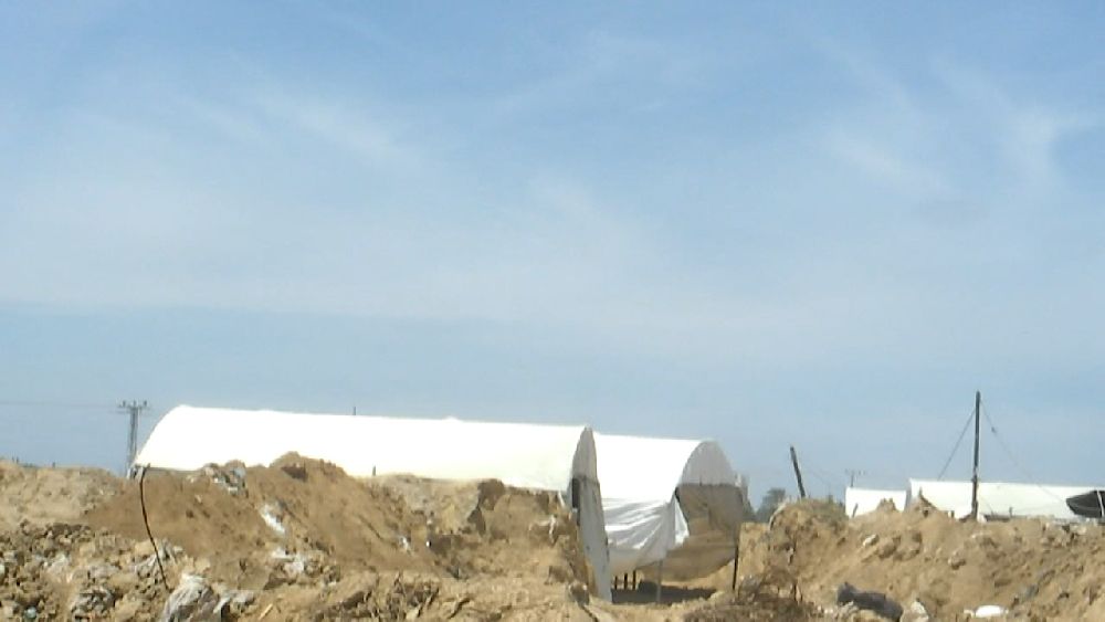 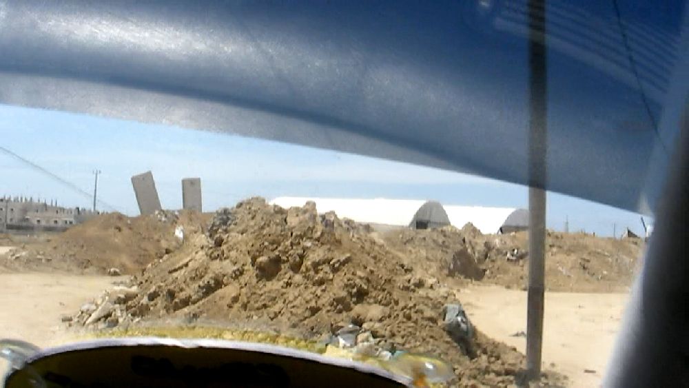 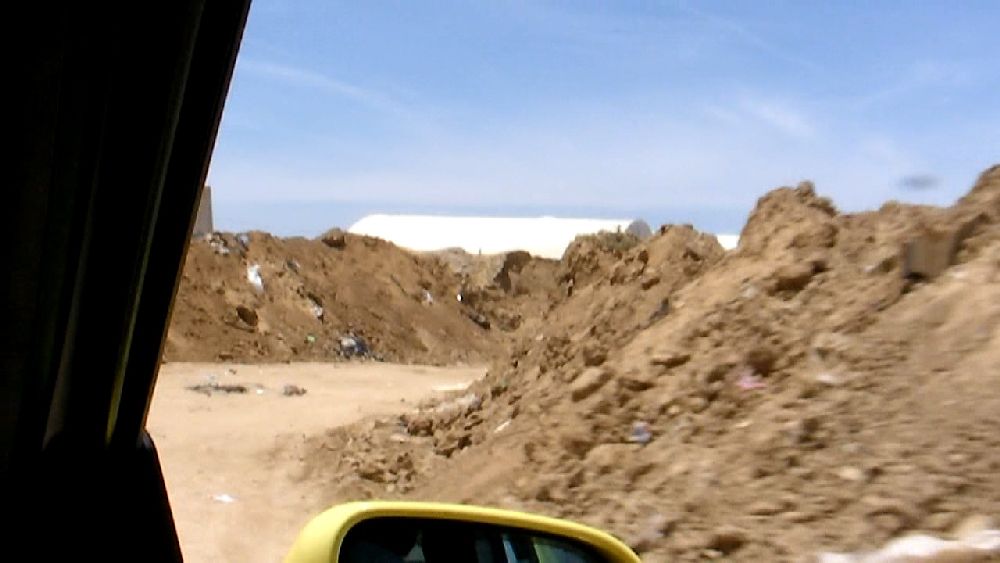 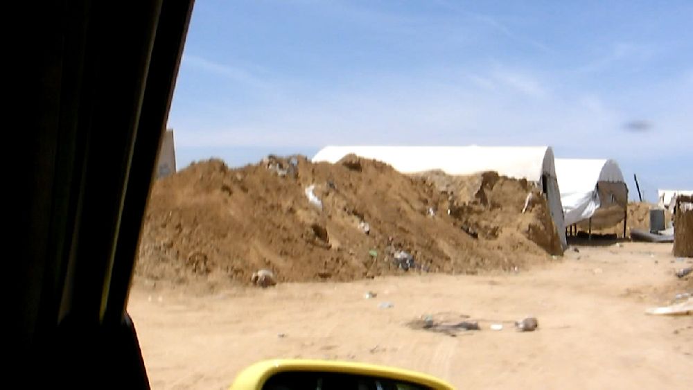 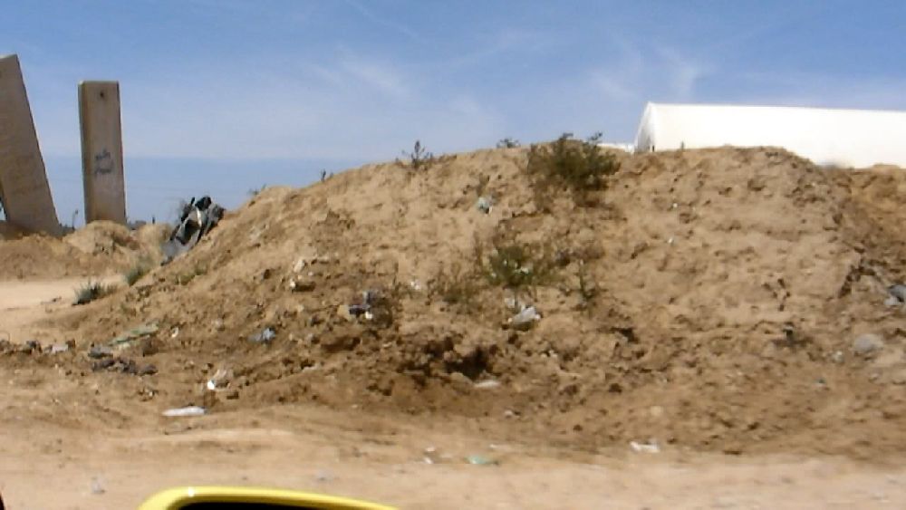 (6) in the tunnel area 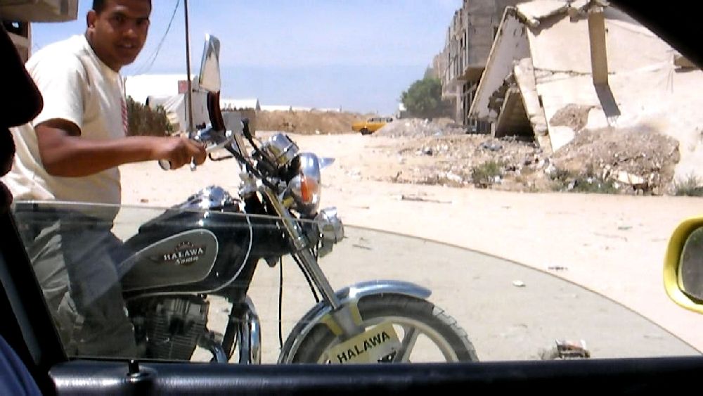 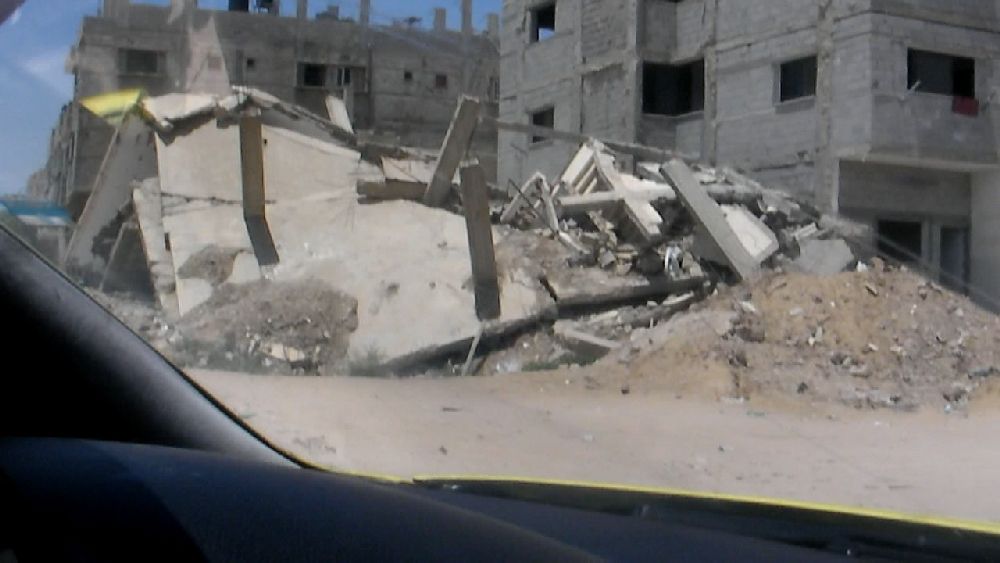 (7) leaving the area 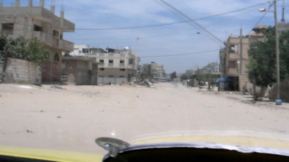 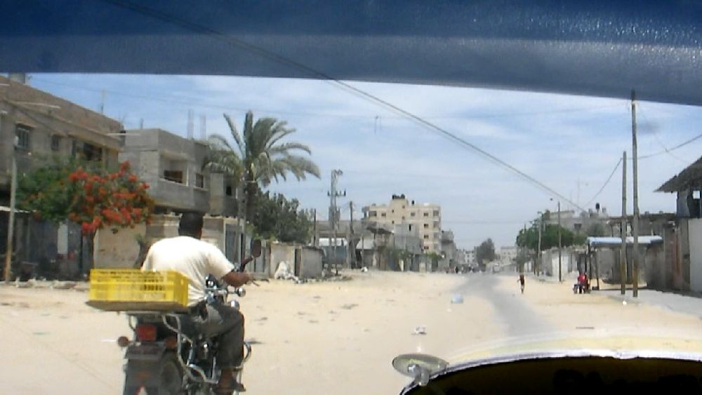 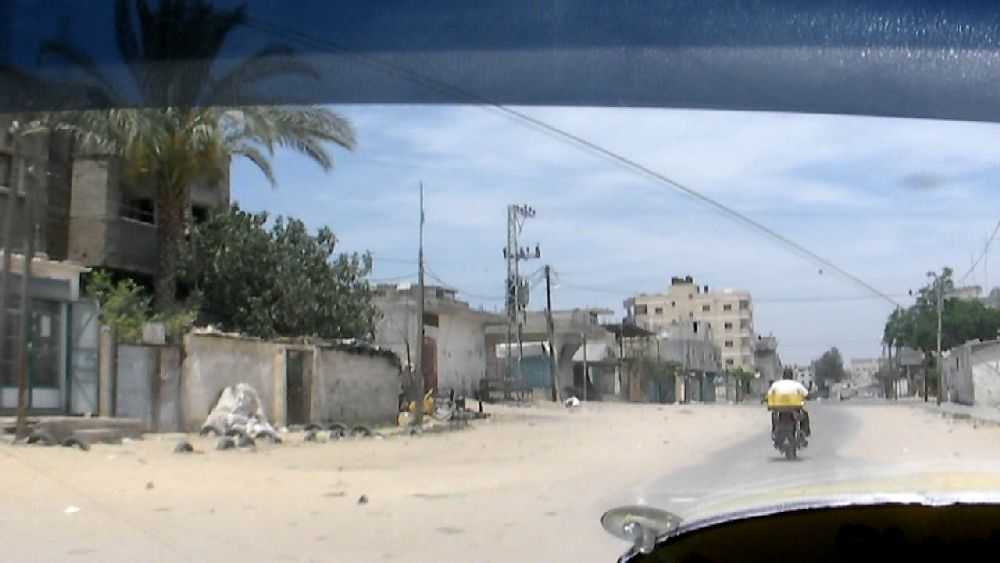 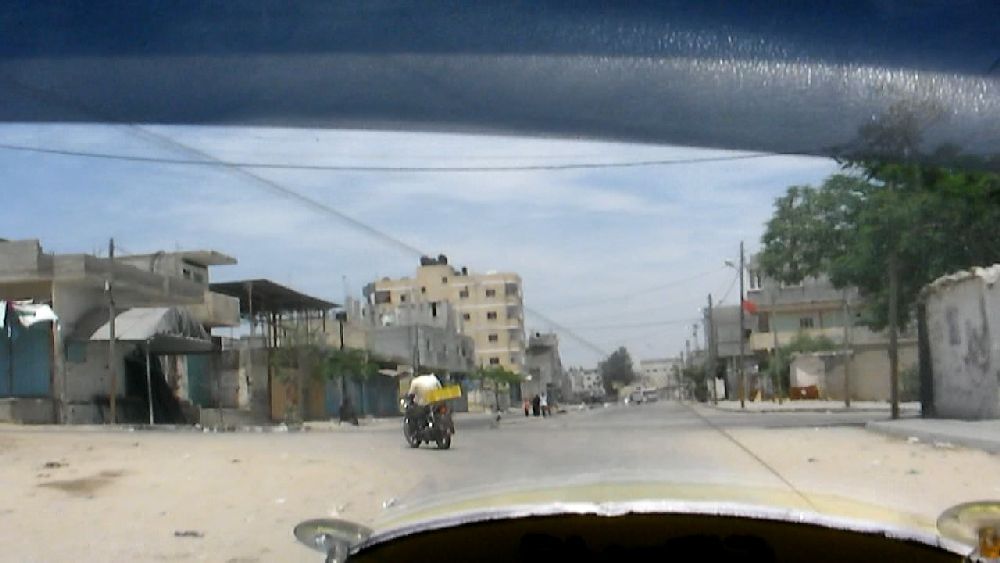 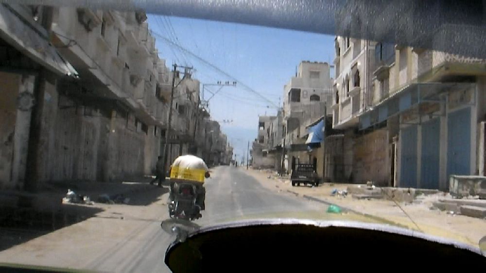 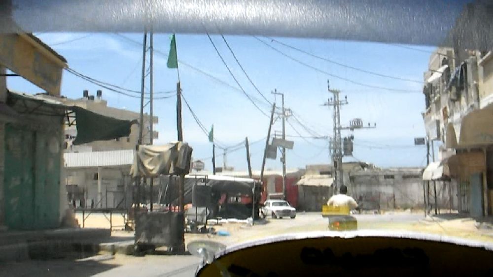 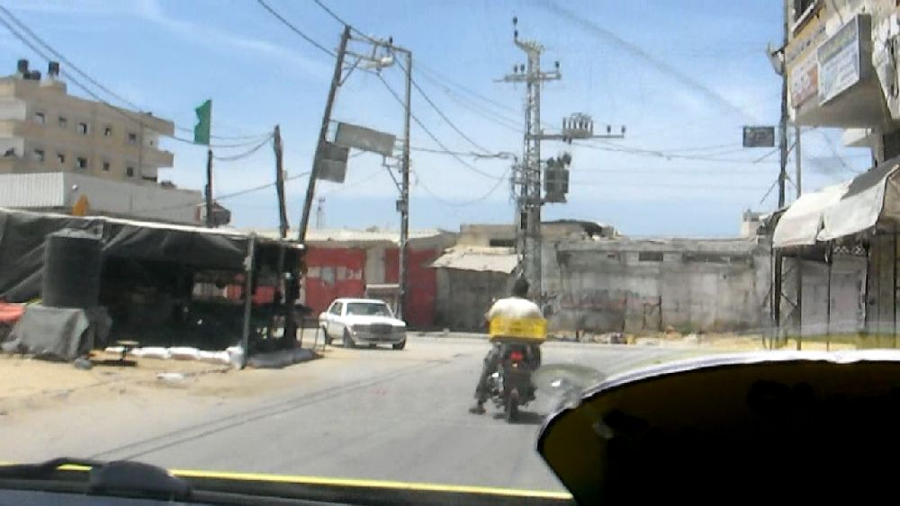  (8, lower row) As I had mentioned in my report on May 20, I repeated the filming and also took some still photos at the garbage dump. We returned to Gaza City along the inland road past the former settlement. I took some video clips as we were driving along. 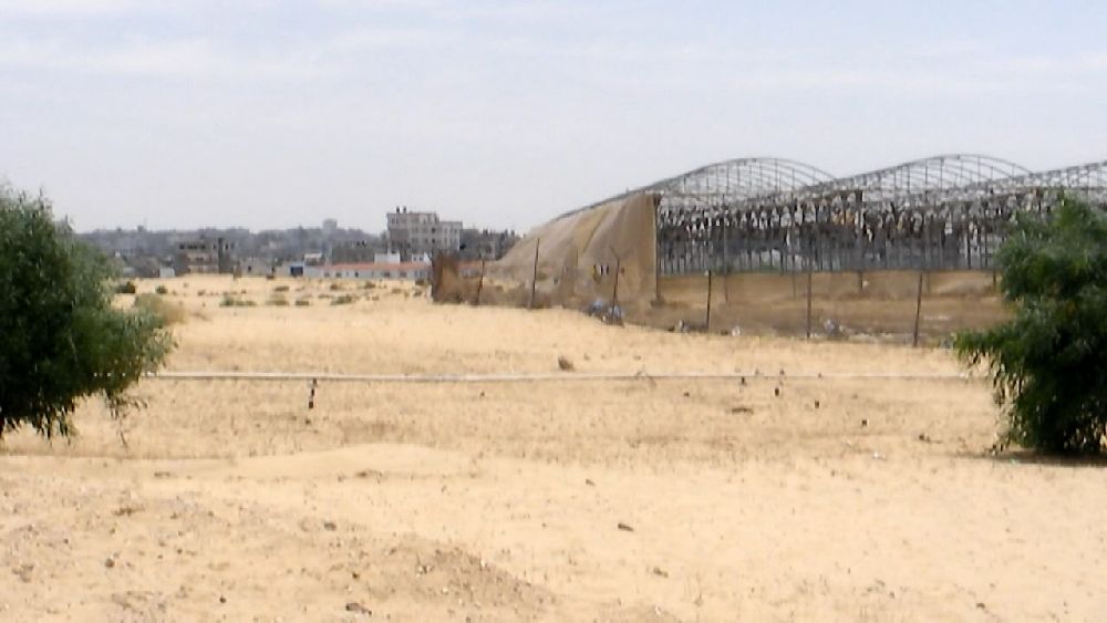 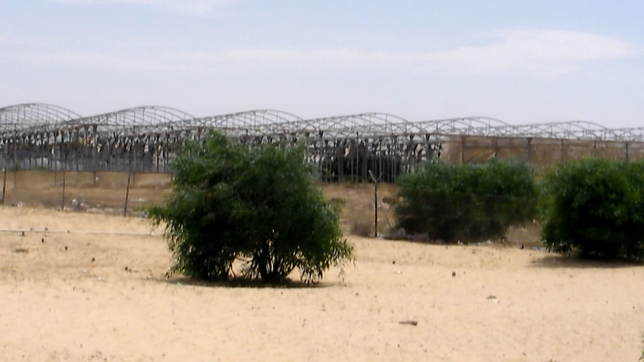 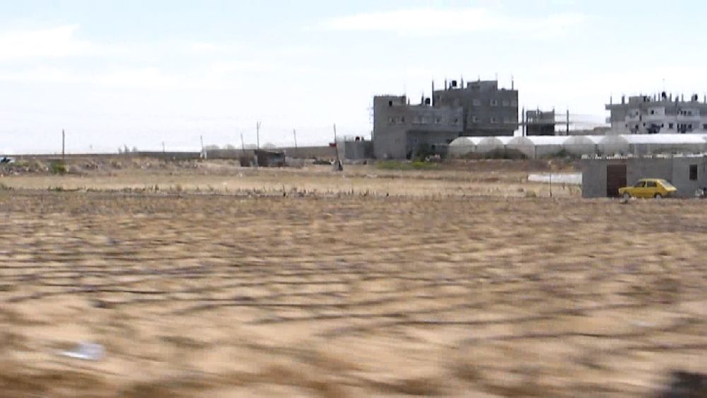 We came along the beach front of the Deir Al Balah refugee camp. The lighting was so good this afternoon that even the video frames turned out pretty decent. 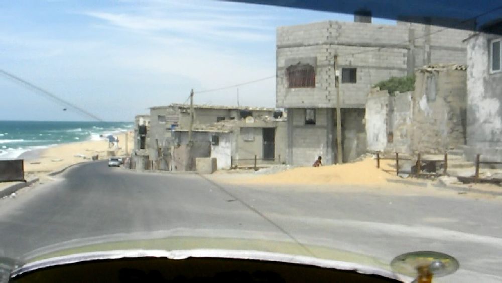 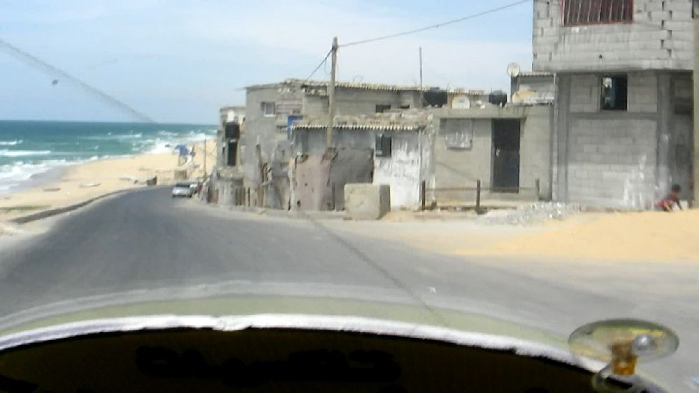 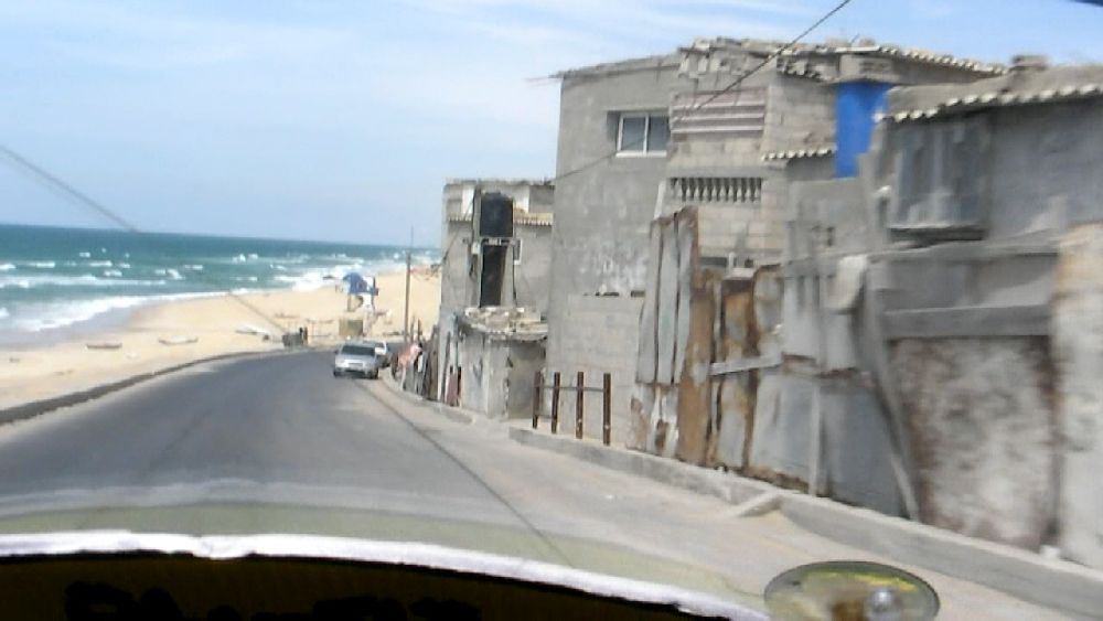 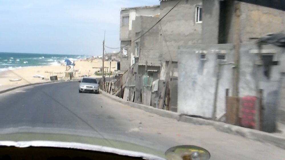 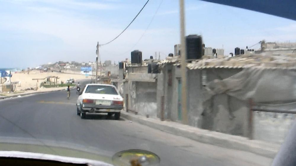 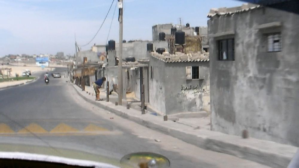 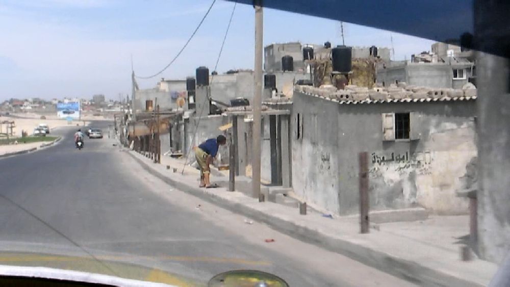 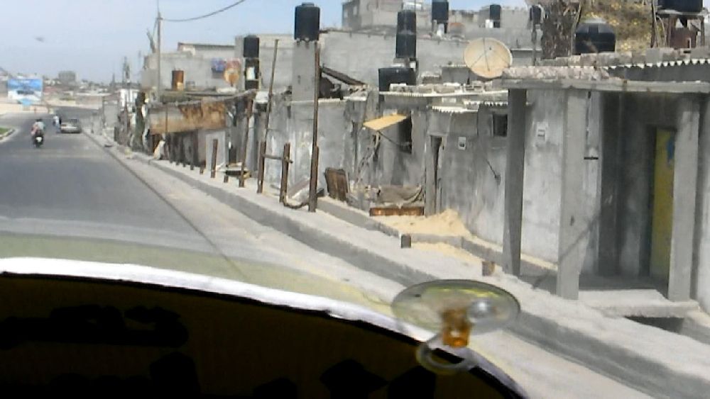 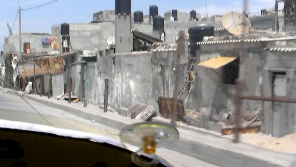 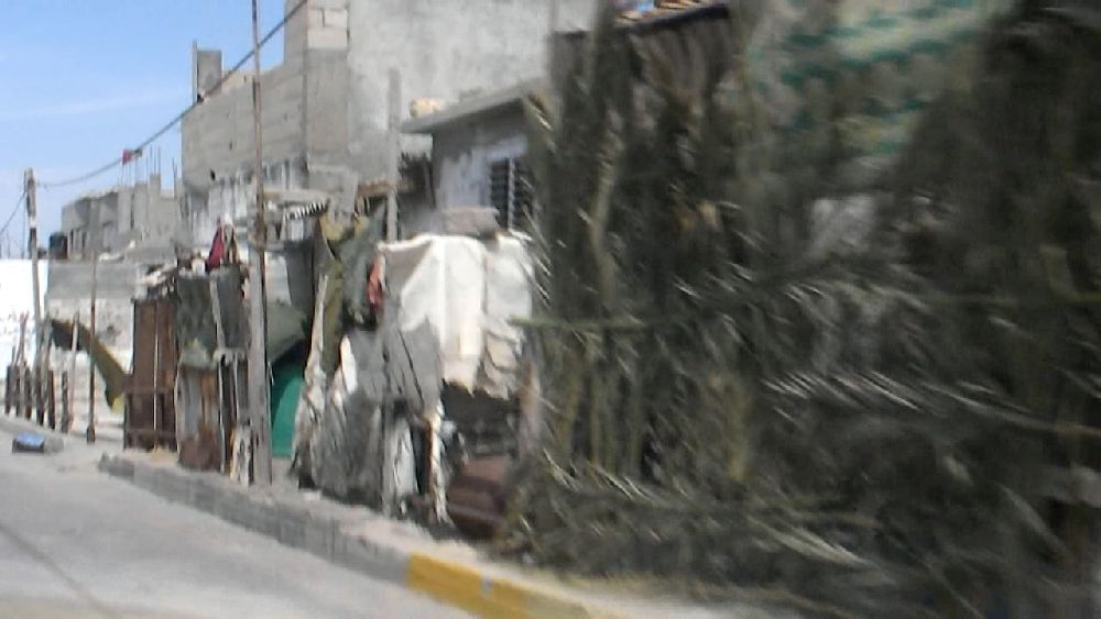 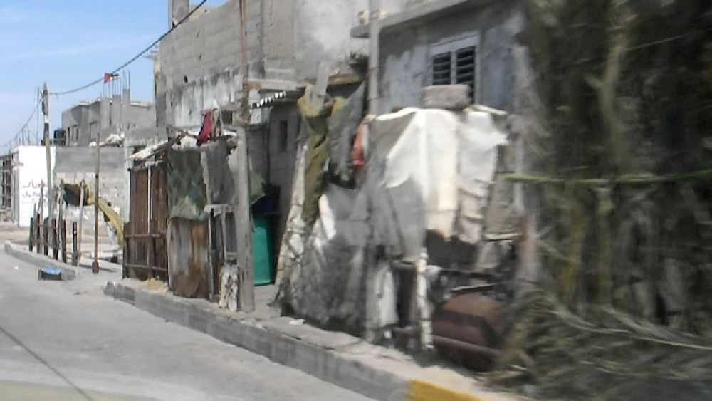 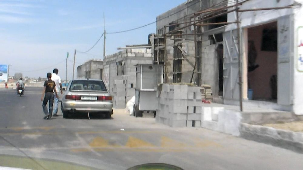 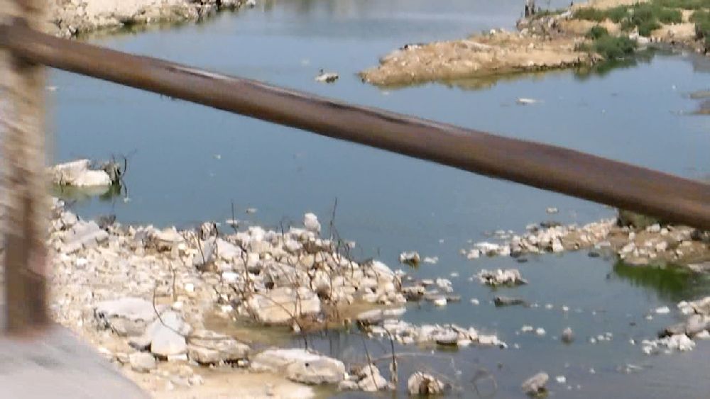 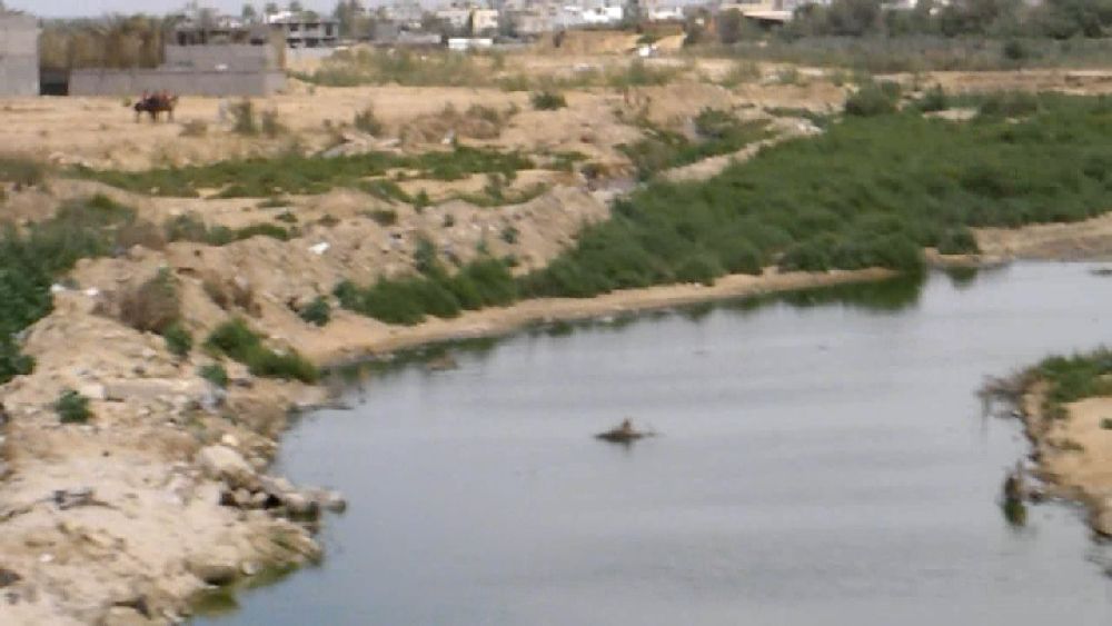 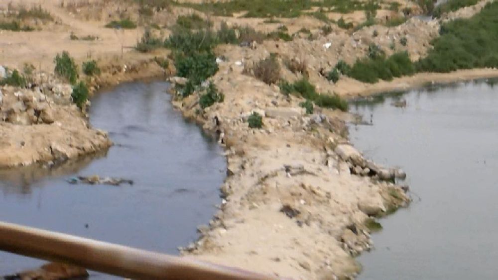 This was a view down into the Wadi Gaza (apparently mostly waste water) As I had mentioned at the very beginning, I wanted to visit Jabalia Camp in the afternoon. At this time of day I had no problem to find a car driver in front of the hotel who was willing to take me up there. The only problem was that he did not know exactly where to go. So he asked his way. I had some UN medical facilities indicated on my map and we tried to get there. At the time I did not know that these were not hospitals. Thus when I was dropped at a hospital I was not suspicious, only wondering about the fact that this camp looked pretty decent. I took a GPS reading and therefore I realized later that I was just one block away of the camp. So that was a failure. But I have two sequences of photos of driving along one of the main streets of Gaza City, Al Jalaa Street, on a weekend day, one going up and one going down. 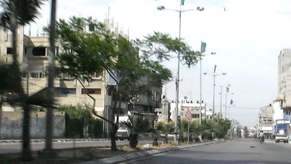 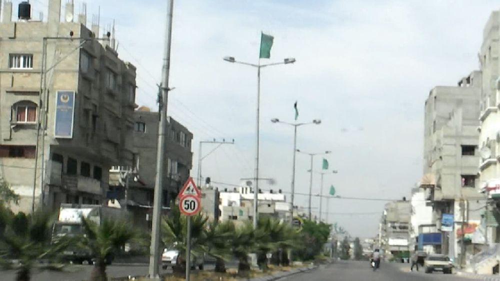 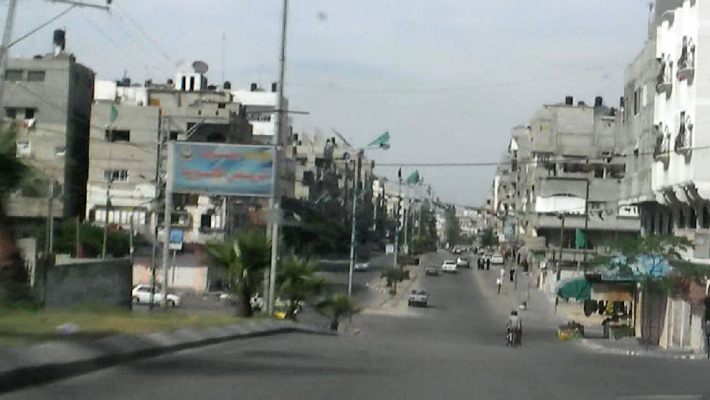 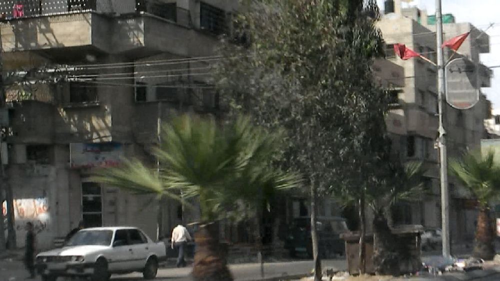 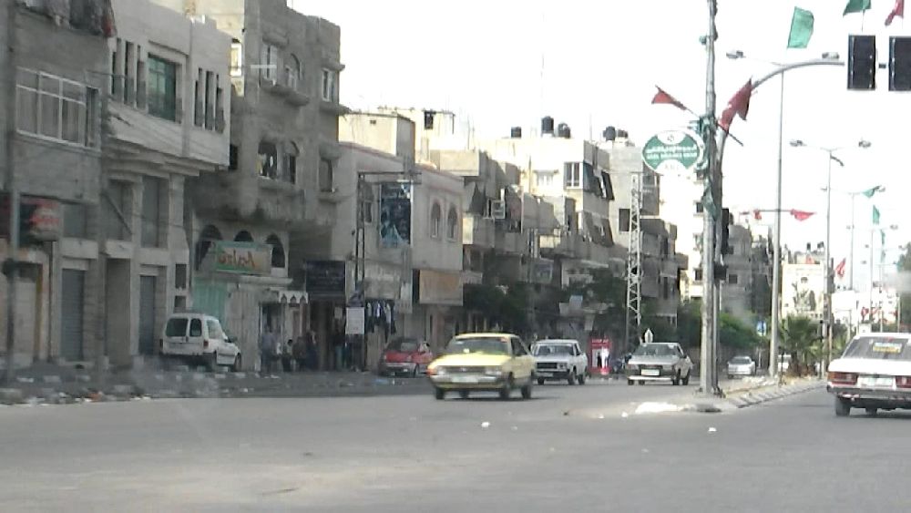 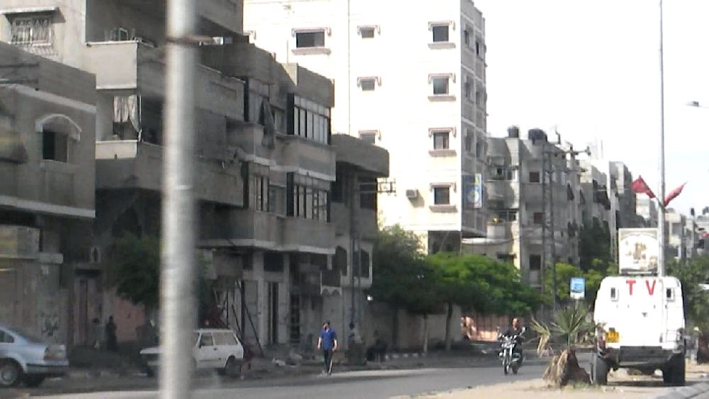 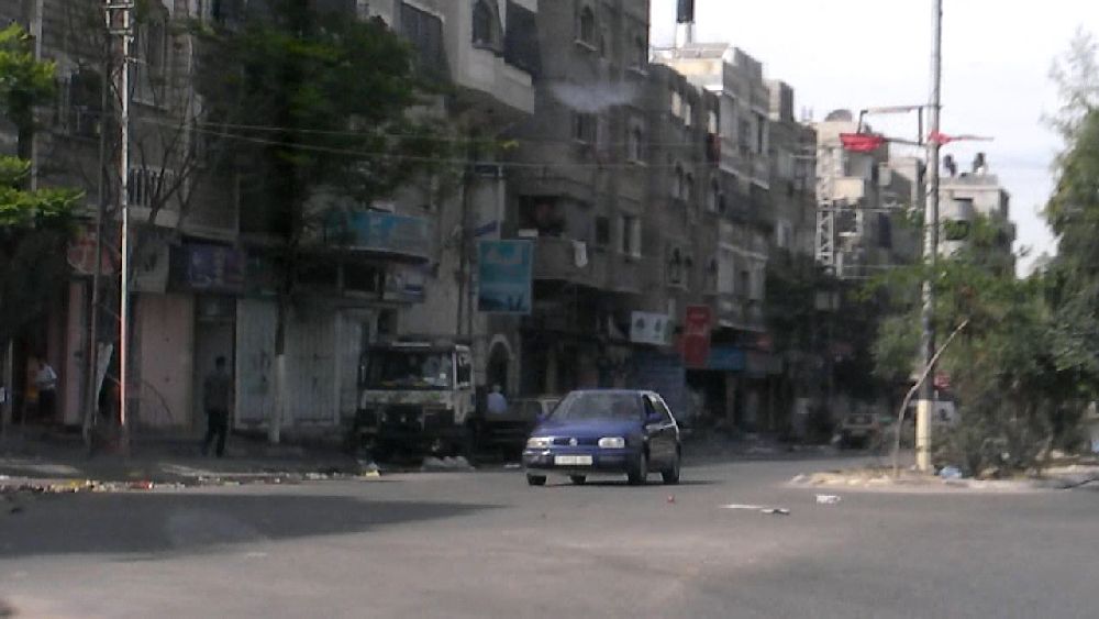 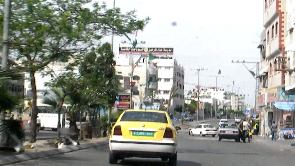 Al Jalaa Street up 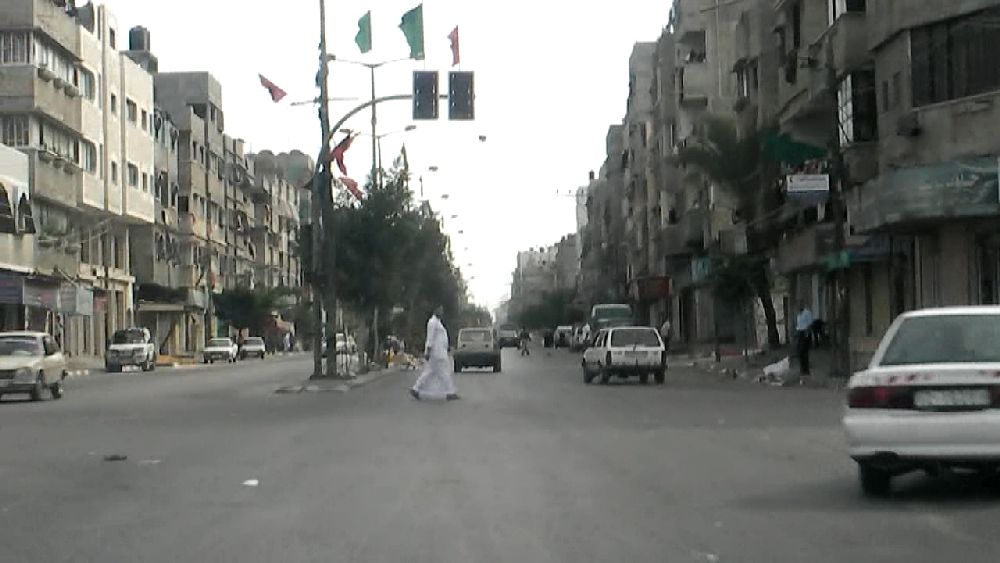 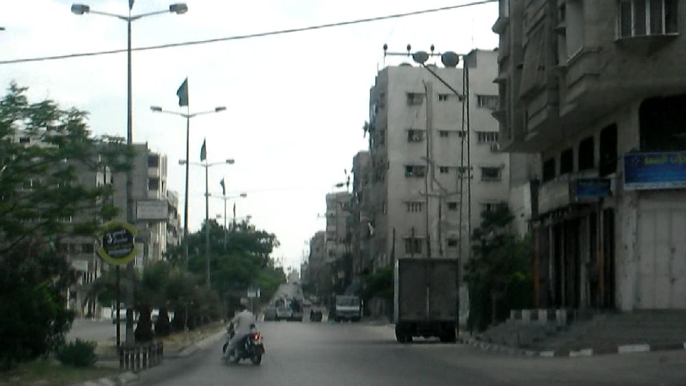 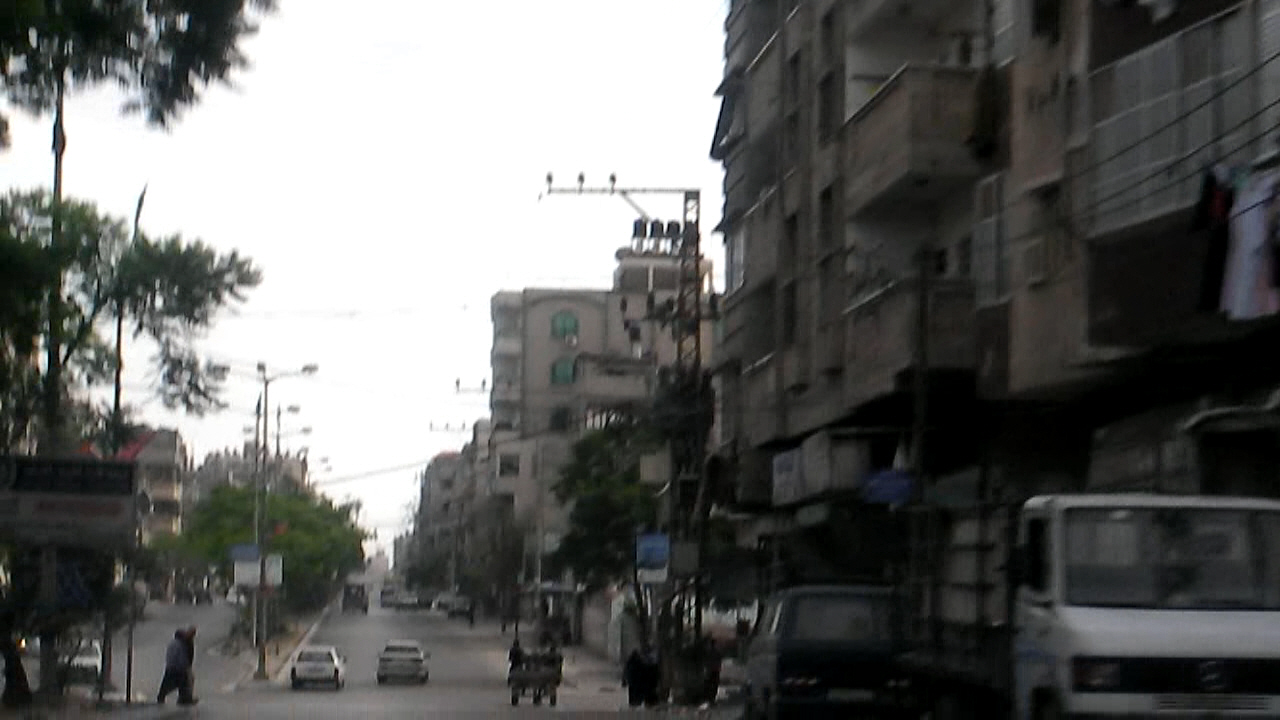  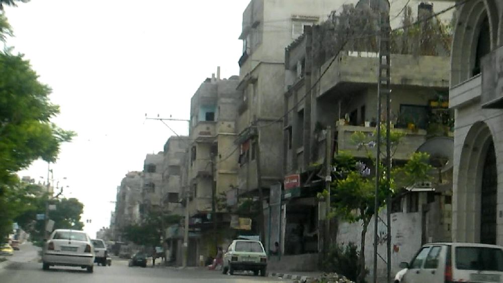 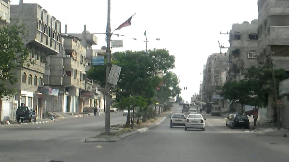  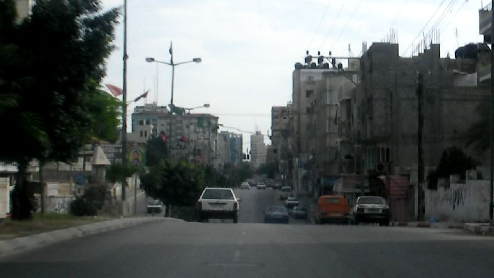 Al Jalaa Street down By the time I was back at the hotel it was 5 p.m.. One could tell that this was a weekend day, because there were quite a number of people at the beach. 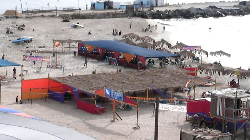 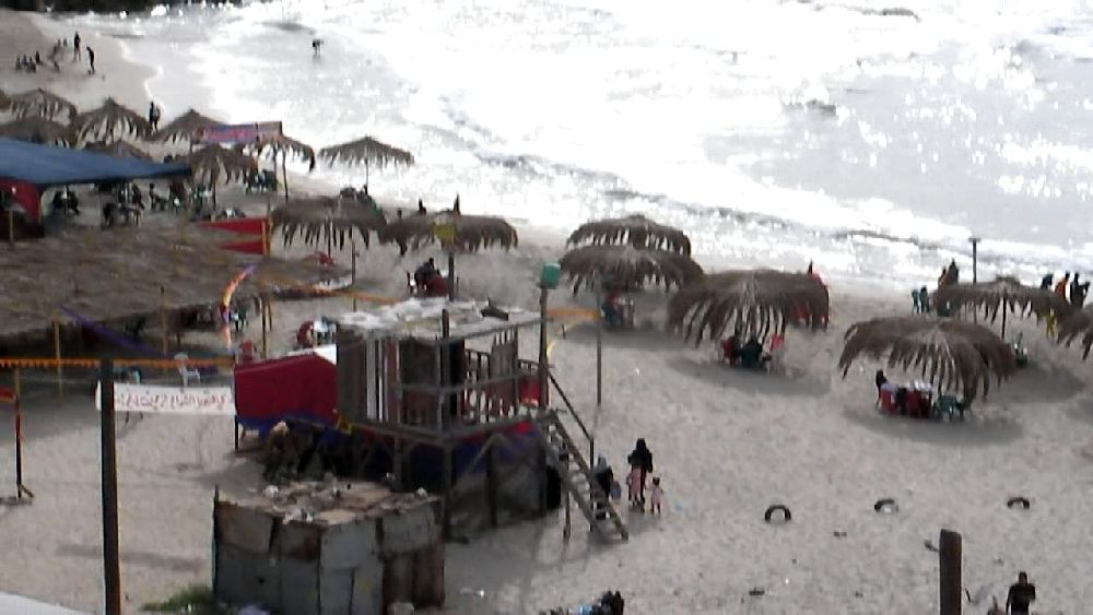 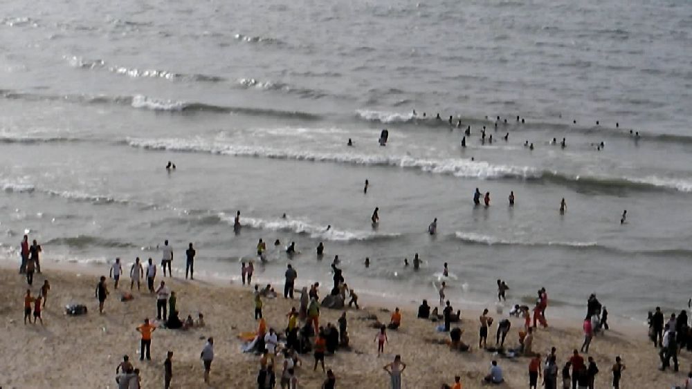 Since this was my last chance, I got out my bike out and went along the coastal road in 'northern' direction, past the refugee camp. At least that was my intention, but I had not counted on all the boys along my way. I must have been an unusual sight, because one of the boys was determined to have a closer look at me. He grabbed my arm as I was driving past him. I was not riding very fast and was not in danger of falling, but I certainly was not amused. More boys decided to inspect the bike closely. After a while I had to ask a young man to help me to get away from them. This may be the right time to cite from the UNDP report "One year after" on what the blockade and operation 'Cast Lead' did to the children with respect to their psycho-social needs: "Children were, in particular, severely affected by the psychological trauma of the military operations. A study was conducted in March 2009, to assess the relationship between war traumatic experiences due to Cast Lead, and grief and Post Traumatic Stress Disorder (PTSD) among children in Gaza. Findings regarding the psychological wellbeing of Palestinian children in the aftermath of Cast Lead using the Children’s Post Traumatic Stress Reaction Index (CPTSD-RI) showed that: 1. 1.3% of children showed no PTSD; 2. 7.2% reported mild PTSD reactions; 3. 29.9% showed moderate PTSD reactions; and 4. 61.5% showed severe to very severe PTSD reactions." (I had changed the setting of the camera and forgot to change it back. For most of the following photos the resolution is even less than usual.)  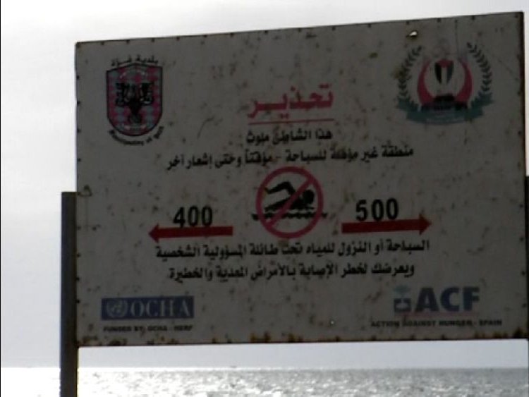 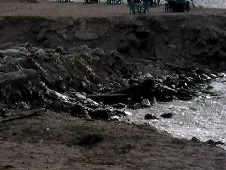 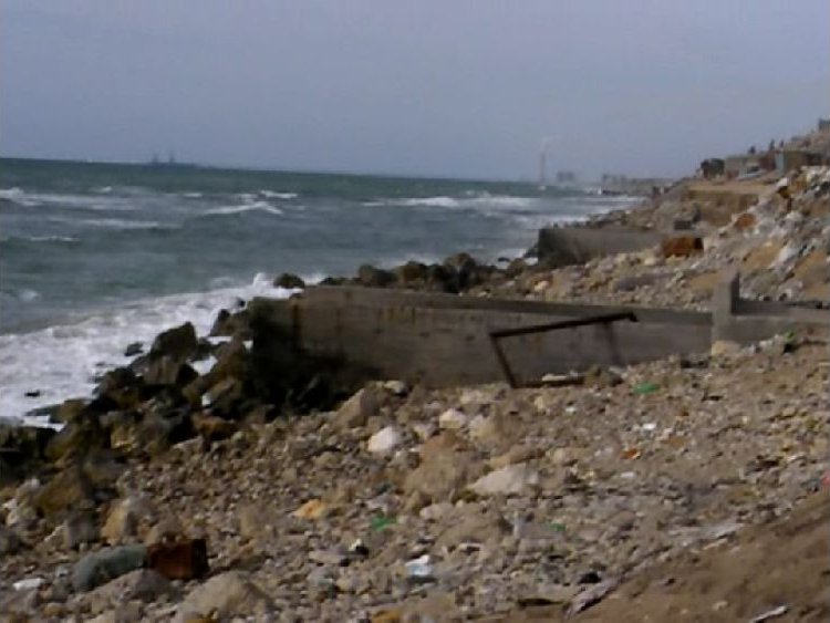 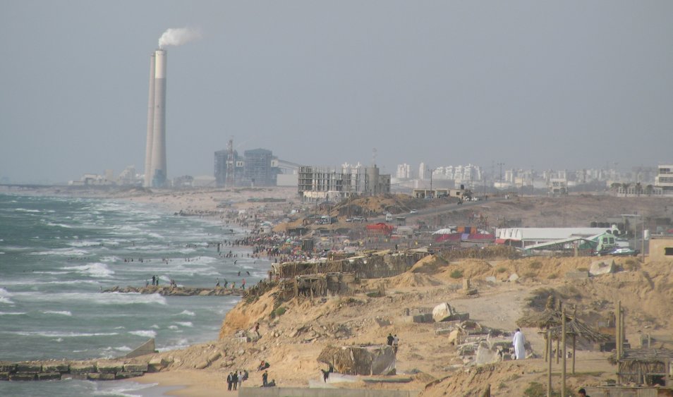 This section of the coast did not have a sandy beach. There were several waste water outlets. The view was very clear this evening. One could see the power station at Ashkelon quite well. I took a telescopic photo (full resolution). 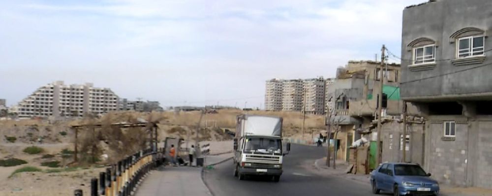 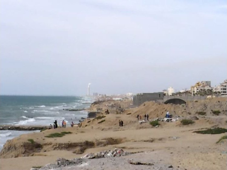 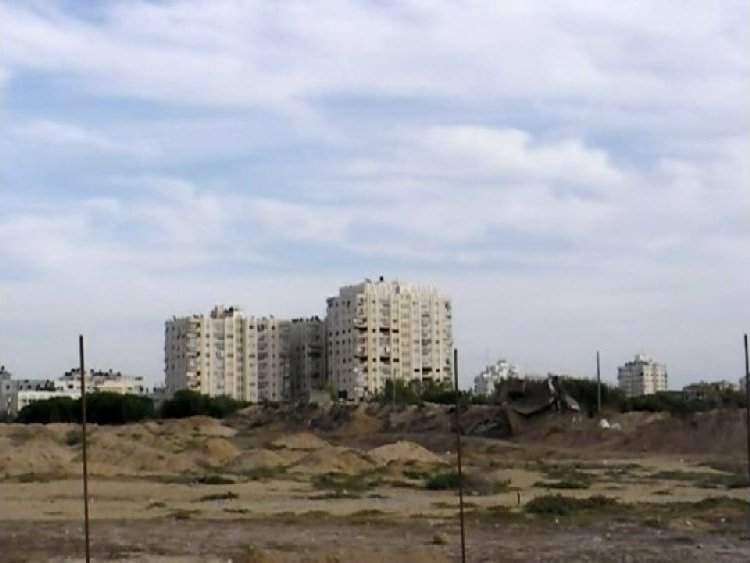 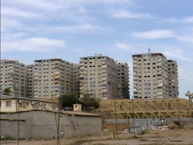 There was some contrast between the buildings of the camp and the ones further outside.  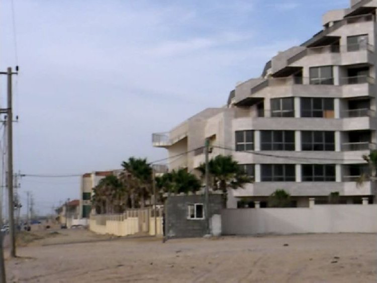 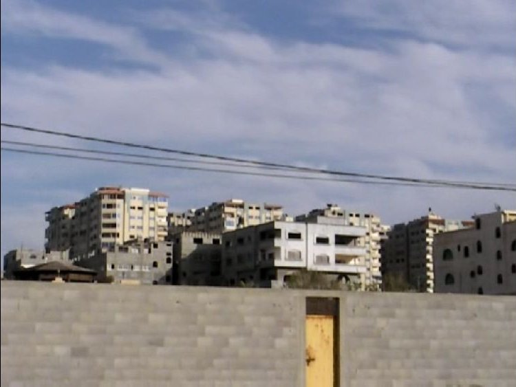 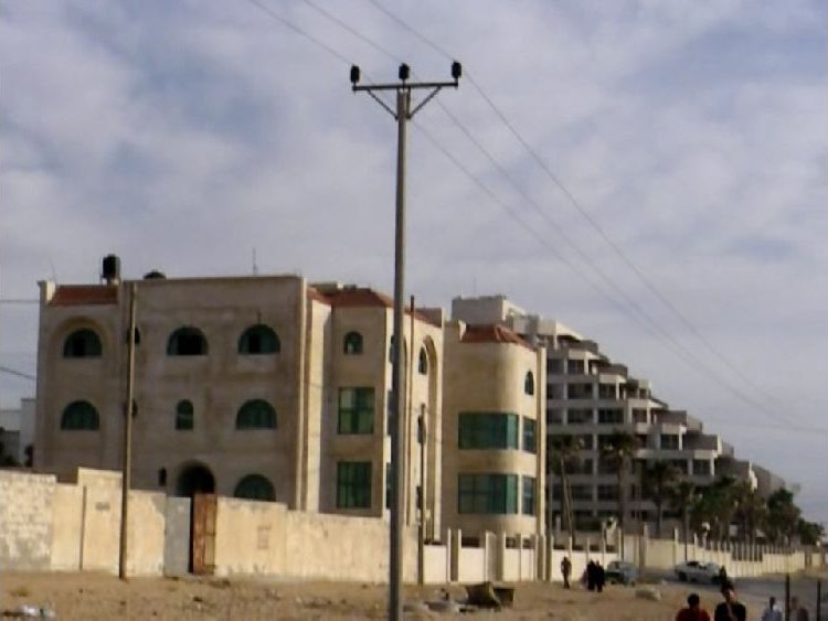 On the way back I tried to avoid the beach boys and went on one of the parallel roads going through the camp. Though the main road was pretty wide, the side alleys were quite narrow, as I had seen in refugee camps in Bethlehem and in Lebanon. At some distance on the road I noticed some girls. Assuming that they had not seen me I started filming them. But they had noticed me right away and soon the oldest girl was turning away. This had happened before. Whereas the boys were very eager to be filmed, the girls often refused. 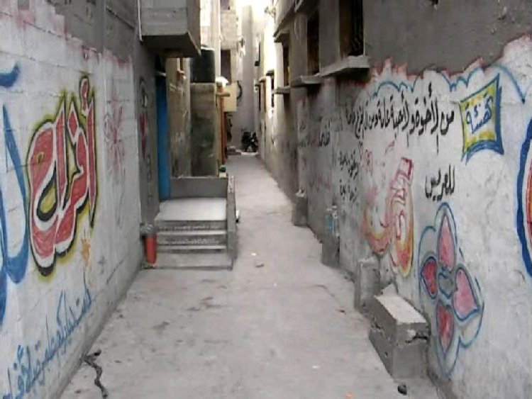 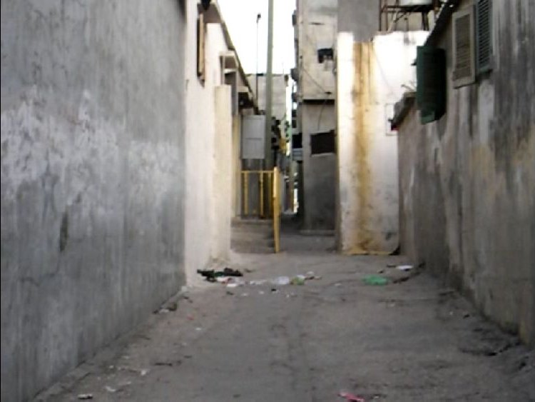 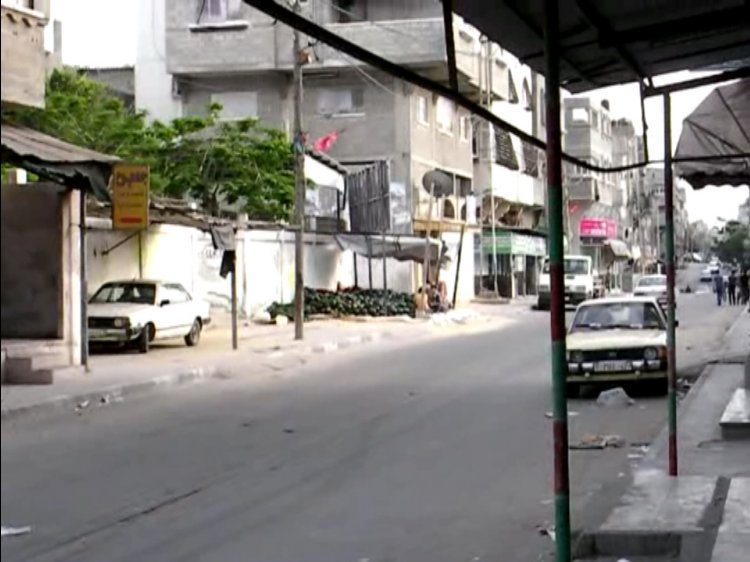 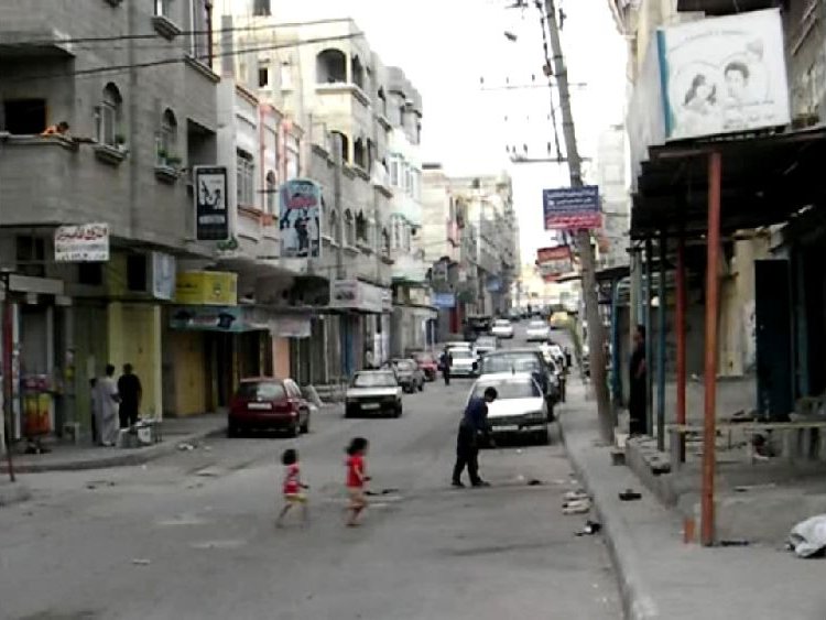 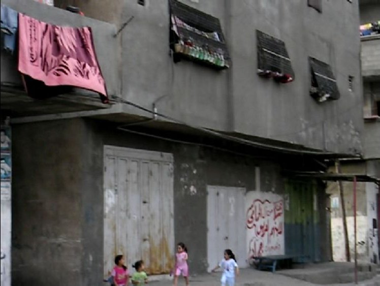 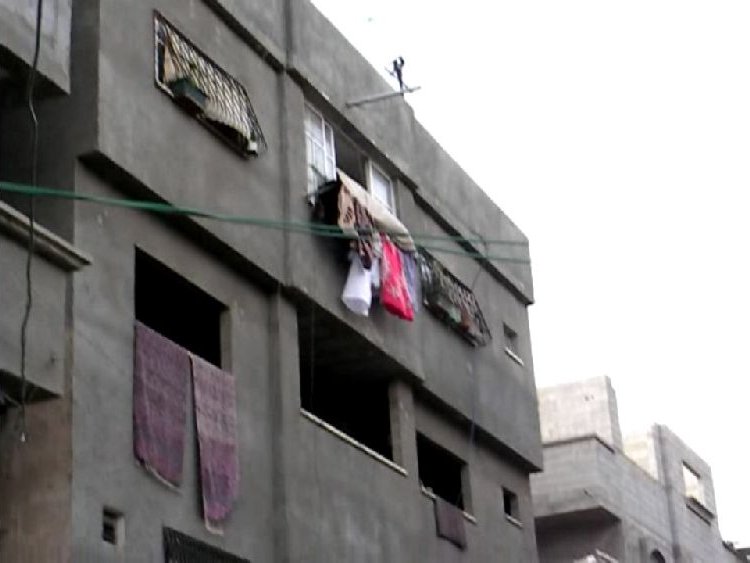 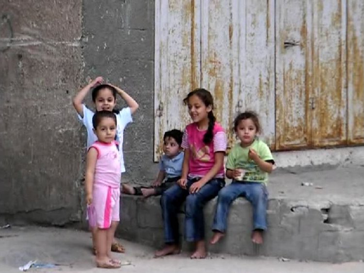 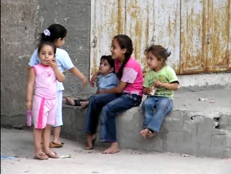 During two evenings, when there was a good view during sunset, I noticed an object out in the sea. 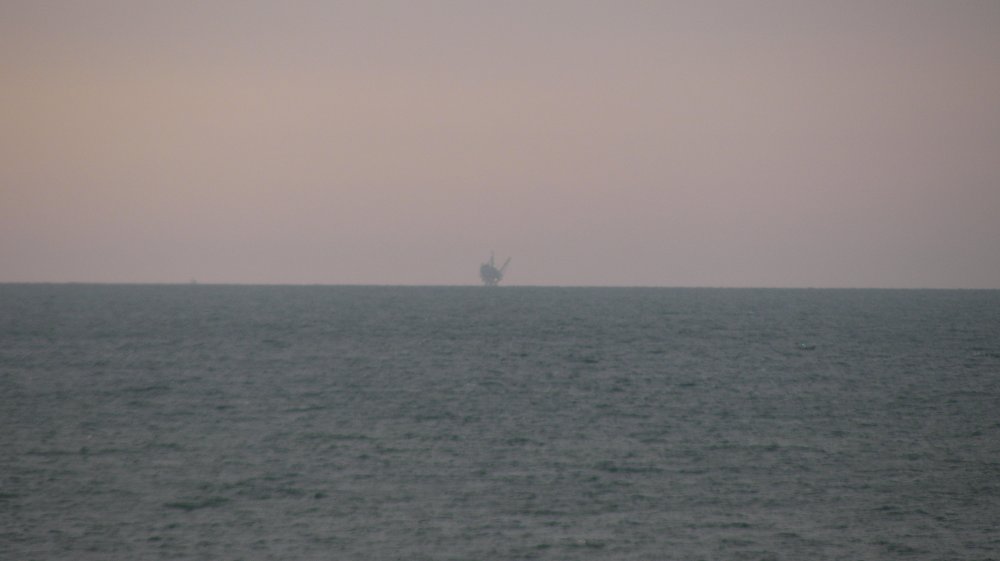  The first photo was taken in the telescopic mode (10x), the second is a detail from the first. In the hotel nobody could tell me what is was. Probably some kind of oil or gas rig. From the viewing angle and from the distance I guessed it was located in Israeli waters. There are proven gas fields in front of Gaza and of Israel. From a map shown in an article in GlobalResearch the rig in the above photos is about 40 km away. Photo of 'Dalit' rig. The next day was the day to find out how easy it would be to get back into Egypt. The border was officially closed on Wednesday, but I knew that this did not mean total closure.
Continuation in part 6 Back to contents page
|